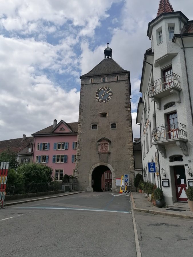
No. 53465
Laufenburg Ruin
Switzerland
CastleRuin12th century
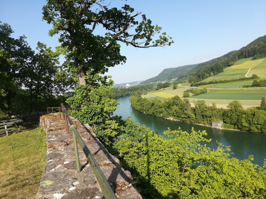
No. 66762
Castle · Germany
No. 66762 · 47.582 N, 8.107 E
Quick summary
Burg Hauenstein is a castle in Germany with origins associated with the 15th century.
See all castles in GermanyBurg Hauenstein stands above the town of Hauenstein, now part of the municipality of Laufenburg am Hochrhein in Germany, and it was probably first established in the transition from late antiquity to the Early Middle Ages to guard the nearby Säckingen monastery and the river and land routes along the Rhine.
The earliest phase likely dates to that late antique or early medieval moment when a fortification was needed at this river crossing. From the medieval period onward the site functioned within the imperial sphere and became an imperial fief. For centuries Burg Hauenstein served as the seat of the local imperial bailiwick of the County of Hauenstein, and officials there administered the region and collected tolls on Rhine traffic.
During the later Middle Ages the place was noted as a small walled market settlement with two closely situated castles. Contemporary Burgundian commissioners reporting in 1471–1473 record that one of the two castles was held as a fief by Wilhelm (Guillaume) von Griessen, also named Guillaume de Criez, while the duke retained the other stronghold. The castle continued its administrative and fiscal role until about 1500.
In 1503 the castle and its chapel were recorded as having burned. A decision to rebuild the chapel was made in 1641, and a carved sandstone above the rebuilt entrance bears the date 1685. French forces plundered the chapel in 1797. In the 18th and 19th centuries parts of the site were quarried for building stone, and some masonry was removed, apparently for nearby works including a railway viaduct. Around 1892 parts of the ruin were stabilised. The chapel underwent renovation after the Second World War, in 1949, and is the only fully preserved building that belongs to the former castle. The ruin has been the subject of recent investigations and a modern re-survey of the site.
The castle occupies a hard porphyry rock spur and is laid out along a northeast–southwest alignment. The main enclosure is slightly V-shaped and runs for roughly 35 metres from northeast to southwest, narrowing to about 16 metres at the southern end and widening to about 20 metres at the northern end. Stone walls were built directly on the rock and in places follow the ridge closely, producing a compact, elongated complex that adapts to the natural outcrop.
Approach and external defences survive as earthworks and cut ditches. The historic road reached the castle from the southwest, where a deep pointed ditch lies to the left of the path. Two further ditches fronted the castle and were partly backed by an earthen wall; the southwest side was defended by a combination of ditch and rampart, and an additional ditch runs before the northeast face. These cut features were integral to access control and to the later defensive layout.
A man-made pond northwest of the castle formed part of a water system fed by a weir that brought water from Hochsal, located about two kilometres away. Remnants of that weir remain visible, and overflow from the pond was channelled by a ditch that runs below the southwest part of the castle toward the Rhine. These engineered waterworks show deliberate control of a nearby supply to serve the castle and its immediate needs.
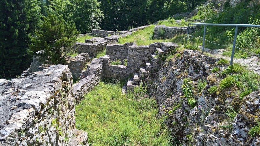
The oldest masonry cluster is concentrated in the southwest sector. There the ground plan of an octagonal great hall can still be traced, and this sector also contained a residential tower, or keep, plus a smaller building used for economy or stabling. In a later building phase a substantial shield wall nearly three metres thick was added on the northwest side and provided a timber-walk battlement on top. That later wall was narrower than the faces of the octagon, producing a shallow interior recess along the old hall wall.
Measured lengths of surviving fabric indicate a complex of considerable extent. The long northwest-facing wall of the old hall together with the later fortress wall runs about 95 metres according to older measurements, while the later shield wall alone has been measured at roughly 70 metres. Newer interpretations allow for an original extension north to the plateau, which would give a total linear length close to 140 metres. On the southwest face a sloping wall survives to about 17 metres in length.
The southeast sector preserves the route of the original curtain to the former main gate. That southeast wall runs roughly 35 metres to the gate position, then turns at about a right angle outward toward the rock edge along a wall of about ten metres, ending in a projecting horseshoe-shaped round tower whose diameter is estimated at ten to fifteen metres and which once intruded into the courtyard. From that projecting tower the east-side wall follows the rock edge northeast for about 50 metres and joins the northeast face, which measures around 30 metres at its ends.
Present access to the ruin is through a vaulted gateway set into the northwest wall, with an internal opening about 3.6 metres high and 2.1 metres wide; the historical authenticity of that passage is debated in the literature. Older drawings indicate additional entrances, and a contested gate on the northeast may originally have been crossed by a drawbridge spanning a defensive ditch.
Inside the defences a central courtyard approximately 45 by 29 metres sits between the two castle cores, and rubble mounds across that area mark the locations of former auxiliary buildings. Numerous rafter holes in the inner face of the northwest wall show where a wooden battlement and attached timber houses once stood, and some masonry in the later northern sector reveals a probable tower footprint of about 13 by 10 metres with an adjoining masonry residence of roughly 16 by 10 metres attributed to a later construction phase. Other walls in the older great hall zone are comparatively slim in places, about 1.8 metres thick.
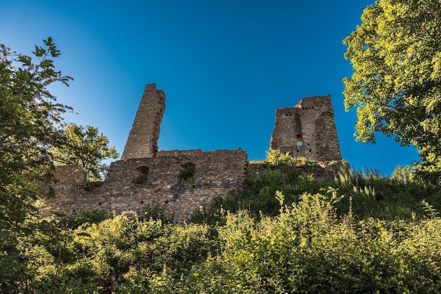
Condition varies across the site. The northwest and northeast walls, conserved in the late nineteenth century, remain relatively tall and solid, with wall thicknesses over three metres and local heights up to about seven metres, although the north wall of the great hall is not intact. Large parts of the eastern southeast wall have been removed or quarried away, and much of the interior is overgrown, with the remaining mortar in the great hall described as brittle and in need of conservation. The chapel dedicated to Saint Joseph, marked above its door by a carved stone dated 1685, survives as the only fully preserved building; it was plundered in 1797 and renovated in 1949.
No. 53465
No. 15197
No. 61696
No. 44314
Comments
Comments for Burg Hauenstein will require a verified account before posting.
We'll send a verification link before your first comment is published.