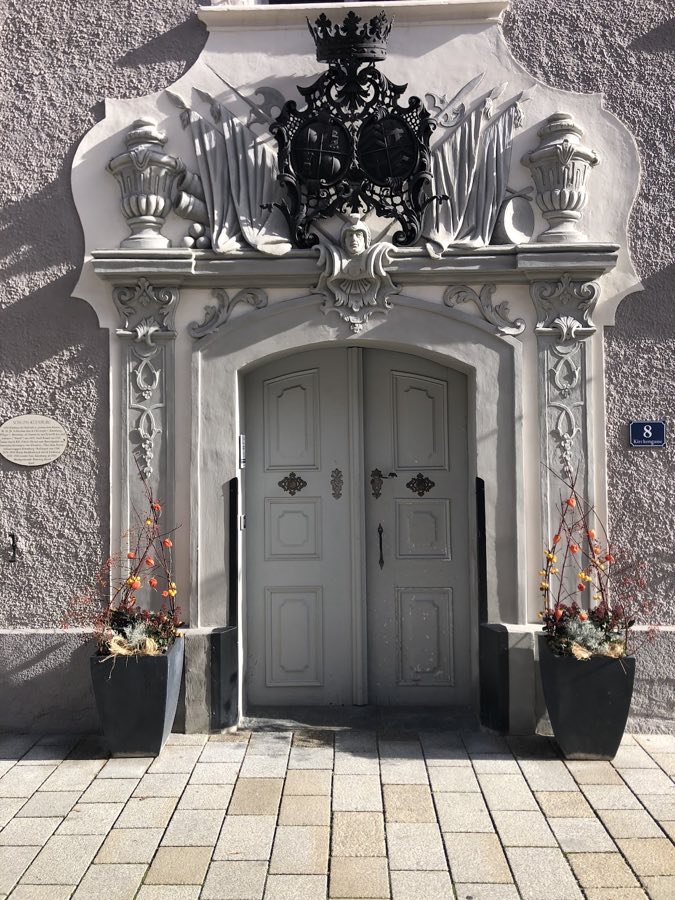
No. 45217
Schloss Kuenburg
Austria
PalaceIntact18th century
No. 83334
Castle · Austria
No. 83334 · 47.155 N, 13.962 E
Quick summary
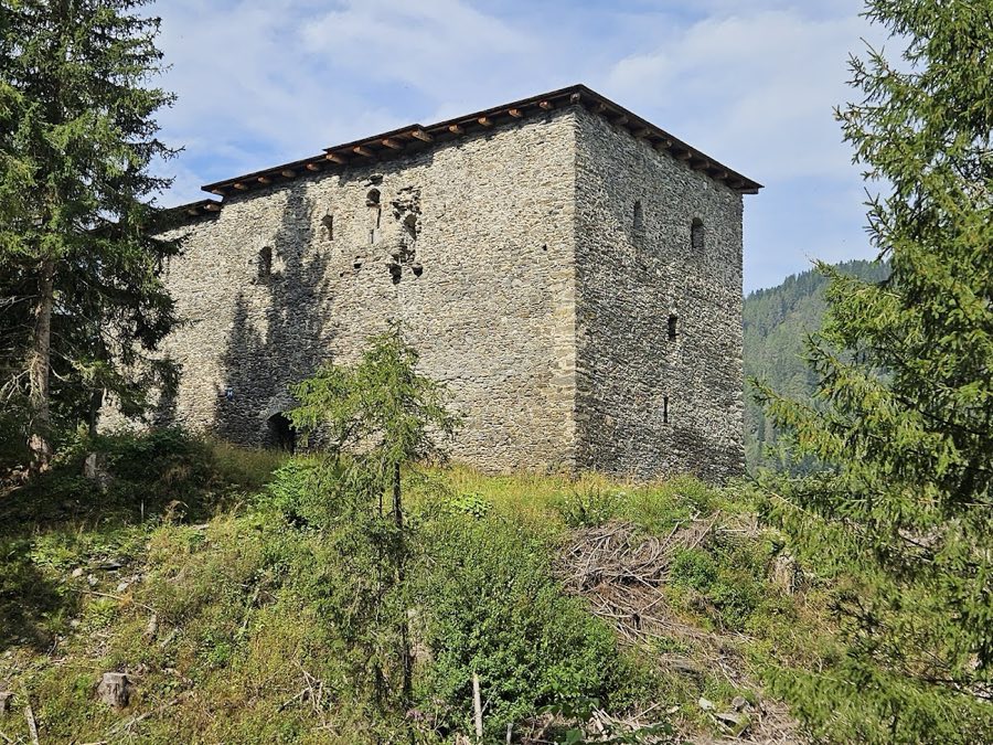
Burgruine Klauseck, Tamsweg is a castle in Tamsweg, Austria with origins associated with the 10th century.
See all castles in AustriaBurgruine Klauseck, in the municipality of Tamsweg, Austria, was erected by the archbishops of Salzburg as part of their medieval frontier defenses.
The site’s origins are unclear, with some indications placing an initial foundation between about 1000 and 1200. The standing stone castle is most likely a product of the 1200s, and tree‑ring dating points to construction around 1300. During this period the archbishops pursued a systematic program of strengthening the eastern border, and Klauseck served together with a long valley barrier as one of the controlled crossing points on the commercial road into Styria. Its role was to block the valley and to regulate passage and tolls at the gate known as the Klausentor.
Administratively the fortification was attached to the Pflege (an administrative and military office) of Klausegg, which was responsible for border guard duties. Officeholders held a Burghut, a garrisoning responsibility, and during the first prosperity of mining in the Lungau a separate mountain guard post was established before that function later moved to Moosham. Families recorded as holding the Pflege include the Mooshaimer and the Thannhauser; in 1354 Wulfing the Mooshaimer is documented as holding the office.
A widespread claim that the castle belonged to the lords of Pettau and passed with the market of Tamsweg to Archbishop Eberhard II in 1246 cannot be proven. The stronghold saw fighting during the Hungarian wars of the late fifteenth century, and a number of finds at the site attest to these repeated clashes. In the seventeenth century Salzburg’s financial chamber repeatedly sought to dissolve the Pflege. The chamber ordered the demolition of the border tower in 1642, although in 1680 Martin Jocher was still charged with the Burghut. By the end of the seventeenth century the Pflege was terminated and its responsibilities were merged with the main office at Moosham.
In 1712 an imperial administration and a toll house were erected on the Styrian side close to the Klausentor. After military and administrative use ceased the castle and its defensive works fell into ruin; stones from the barrier were taken for other buildings and the place became overgrown, a condition recorded in 1786 by Joseph Benedikt Hueber. In 1999 conservation work repaired and stabilised surviving wall sections, a protective roof was installed over preserved masonry, and a local initiative created a legend and hiking trail leading from the nearby tavern to the ruin.
Perched on the steep northern slope of the Gstoder at about 1,280 metres, the site occupies a raised position roughly seventy metres above the Seetal valley floor and marks the easternmost point of modern Salzburg. The defensive ensemble includes a ruined stone castle, a continuous valley‑blocking wall of roughly four hundred metres, the gateway known as the Klausentor with an adjacent gatehouse, and the former tavern on the Salzburg side of the road. The long barrier crossed the valley from slope to slope and could be passed only through the gate on the historic commercial route.
The castle stands as a rectangular, three‑storey stone towerhouse measuring about twenty‑seven by twelve and a half metres and rising to roughly sixteen metres. Walls are consistently thick, and the interior was divided lengthwise into three compartments; the wooden floors that once separated the storeys have largely fallen in. Access to the ground floor was from the mountain side; an earlier entrance on the valley side was later blocked. The plan follows a central‑corridor arrangement with almost square rooms flanking the passage. On the uppermost living floor a formerly partitioned space was opened into a single large hall that contained seating‑niche windows facing the valley and east, and a kitchen was set into the south wall. A defensive ditch surrounds parts of the building.
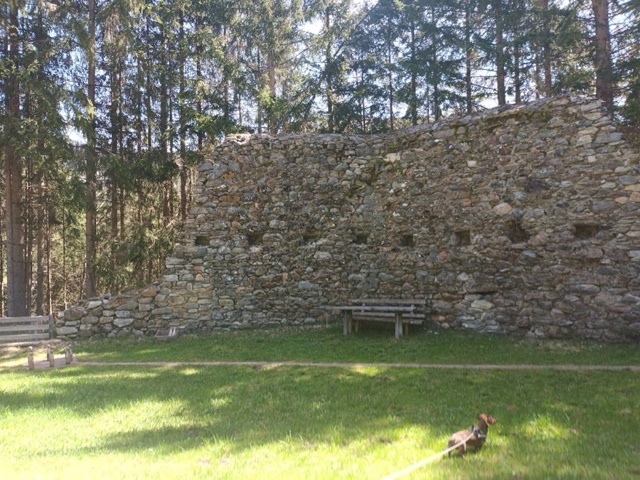
The valley barrier itself was built to a substantial height, topped by protected walkways for defenders. The Klausentor and its adjacent passhouse formed the only planned passage through this continuous wall. Over time sections of the barrier were quarried and their masonry reused elsewhere, while other stretches survived in place and were conserved. Conservation work completed in 1999 stabilised and sealed the most valuable wall sections and provided a protective roof over them, leaving the ruin and the preserved lengths of the barrier as visible evidence of the medieval border fortification.
No. 45217
No. 22590
No. 84909
No. 28664
Comments
Comments for Burgruine Klauseck, Tamsweg will require a verified account before posting.
We'll send a verification link before your first comment is published.