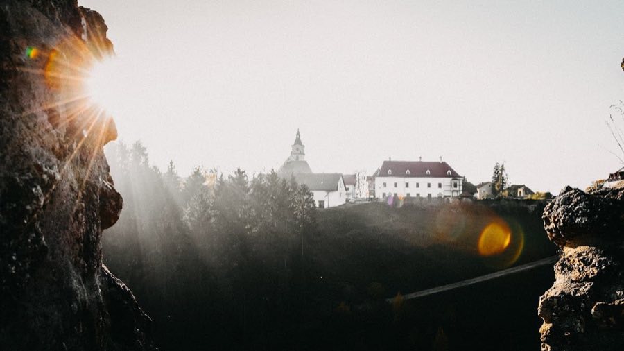
No. 45529
Burgruine Windhaag
Austria
CastleRuin20th century
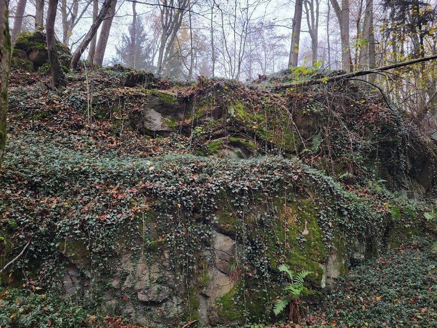
No. 11611
Castle · Austria
No. 11611 · 48.252 N, 14.659 E
Quick summary
Burgruine Mitterberg is a castle in Austria with origins associated with the 12th century.
See all castles in AustriaBurgruine Mitterberg stands in the municipality of Perg, Austria, and was built by medieval local noble families of the Perg and Machland region.
The place name Mitterberg appears in records from 1165, when a Wernhardus de Mitterperg is listed as a witness. In 1180 Duke Leopold V seized the fortress, and the owner Friedrich II von Perg later held it back as a fief. From the late twelfth century members of the lower Machland nobility adopted the name Mitterberger and are recorded as local holders through the thirteenth and early fourteenth centuries, with Ulrich III von Mitterberg named as the last of that line who died in 1360.
In 1277 Duke Albert I enfeoffed Ulrich II von Kapellen with Mitterberg. Ulrich II appears in documents as the military captain in 1279 and as judge of the regional court with its seat at Mitterberg in 1281, establishing the castle as the centre of the Landgericht Machland from 1278. The Kapellen family enlarged and occupied the site. In 1351 Janns I von Kapellen built a chapel dedicated to the Virgin Mary and the abbot of Melk provided a chaplain for it.
The castle passed by marriage into the Liechtenstein family when Dorothea von Kapellen married Hartneid V von Liechtenstein. Christoph III von Liechtenstein substantially rearmed the fortress before 1486. Imperial forces under Landeshauptmann Gotthard von Starhemberg attacked Mitterberg in 1486 and inflicted heavy destruction; contemporary remarks record damage but do not settle whether the fortress was taken completely.
From 1491 Mitterberg was held by nobles loyal to the imperial government, including Ladislaus Prager in 1491 and Sigmund and Heinrich Prüschenk from 1493; Anna Prager appears as holder in 1524. These families retained the manorial and judicial functions while placing less emphasis on the fortifications. Between 1491 and 1493 the Prüschenk family built Greinburg and in 1533 transferred the regional court from Mitterberg to Grein, reorganising the jurisdiction around the new seat. In 1564 Freiherr Andreas von Prag removed dressed stone and other building material from Mitterberg for use at Schloss Pragtal, after which the castle site was described as reduced to earthworks with some forecourt buildings continuing as dwellings for a time.
Antiquarian excavation at the site recovered ceramic fragments and iron objects now kept at the local Heimathaus‑Stadtmuseum Perg; the iron finds indicate violent, martial damage to the main stronghold. Prospects drawn by Clemens Beutler in 1654 and 1664 serve as historical pictorial records of the layout and features. The property remains privately owned and is not under monument protection.
The castle sits on a long, narrow plateau extending roughly north to south and punctuated by successive defensive zones. Most of the earthworks remain visible and can be traversed, while only a few stone walls built of dressed ashlar blocks survive in the ground. The plan narrows from a wide northern forecourt and manor area to a compact main castle on the southern plateau, reflecting the evolution from a manorial complex to a concentrated stronghold.
At the northern edge a ditch with a small conduit drew water from the Thurnhofbach uphill toward the original entrance. This channelled ditch led to the gate area, where no stone gatehouse survives and the entrance is interpreted as having included wooden gatework; a later access road now follows the former approach and skirts the forecourts to the next defensive line.
The manor farm and forecourt occupy a broad terrace about one hundred metres across and contain a small round defensive work with a diameter near nine metres. Earth banks and ramparts that once enclosed this area are faintly visible and are traversed by the later road. On the eastern margin of the forecourt soil hummocks and depressions record former buildings and a central hollow likely marks a well.
A deep first section ditch climbs from the stream and was once crossed by a bridge at the road; this ditch continues along the northeast with an outer bank and formed a strong forward line. Beyond it a first outer bailey shows clear traces of masonry and earthworks. The southern half of that bailey preserves a horseshoe-shaped outer wall lined internally with stone and two deliberate gaps in the facing, while an inner horseshoe wall with a thickness of about one and a half metres and an internal diameter near six and a half metres stands within it. This paired wall arrangement is interpreted as a later circular gun emplacement, comparable in layout to later artillery roundels. Additional enclosures and a round hollow toward the stream suggest further forecourt structures and a small tower, while steep scarps mark other boundary walls.
A second deep ditch forms the next defensive circuit and remains an impressive feature in the terrain. Where that ditch meets the second outer bailey, building foundations appear as raised soil on the northern edge and a round depression likely served as a cistern. The southern sector of this bailey preserves the substantial foundation of a high round tower, with an internal diameter of about four metres and an external diameter of roughly twelve metres. The tower foundation opens to the northeast in a way that resembles an entrance passage. Drawn prospects of 1664 depict seven fallen artillery pieces lying near this tower, and a shield wall protecting the main castle is visible only in those historical views.
The third defensive ditch, sometimes called the castle moat, survives as an imposing trench. A prospect dated 1654 shows a bridge spanning this ditch between the remains of a shield wall and a round tower, indicating a designed crossing at that time, while no bridge remains in place in the terrain today.
The main castle stands on a roughly fifty by fifty metre plateau about thirty-eight metres above the Thurnhofbach. The principal residence, interpreted as a tower house or hall building, measured about fifteen by twenty metres externally. Close by is an impressive vaulted cellar and a vaulted descent that once led to the castle chapel. Substantial wall fragments, including a doorway, remain in the area of the principal building. The surrounding curtain wall is now expressed chiefly as steep earth scarps, and to the south of the main house the foundations of three shell towers built of ashlar and quarry stone mark the line of the southern defences.
The actual steward’s farm historically linked to the castle corresponds to the neighbouring farm known locally as Braitenaichinger. Excavations conducted below the principal building yielded pottery shards and iron fragments; those iron objects are taken as physical evidence of the violent destruction recorded for the main stronghold. Overall, the site today preserves its sequence of defensive ditches, bailey terraces, tower foundations and cellar vaulting as tangible traces of its long medieval occupation.
No. 45529
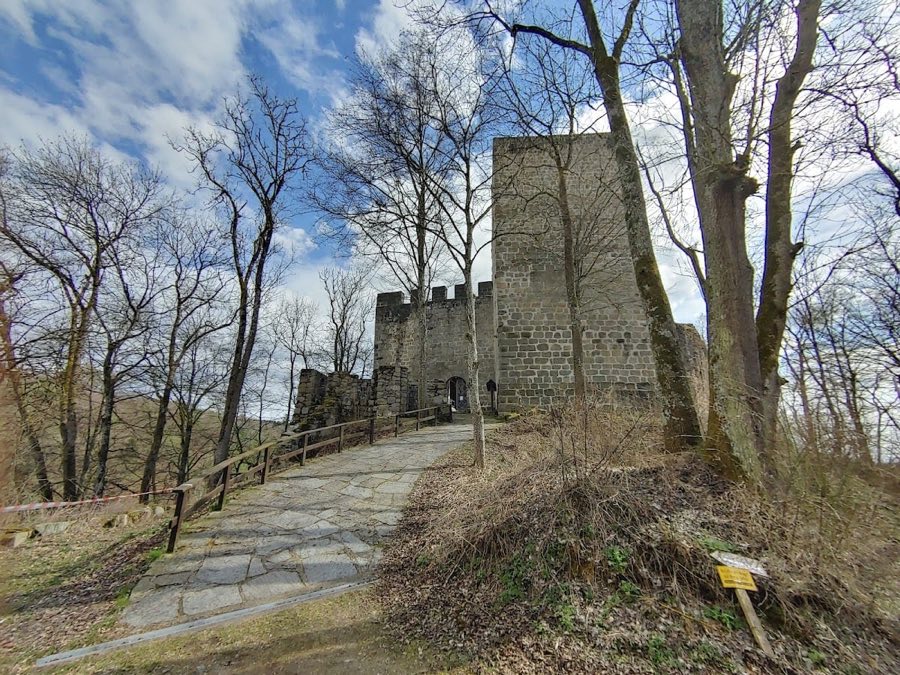
No. 25839
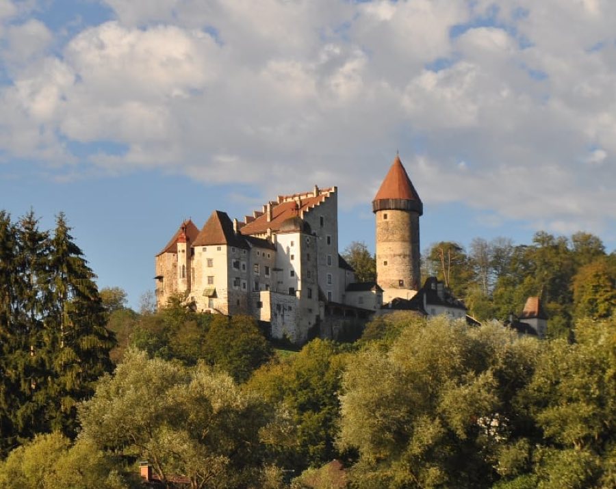
No. 68797
No. 73479
Comments
Comments for Burgruine Mitterberg will require a verified account before posting.
We'll send a verification link before your first comment is published.