No. 20496
Výrov Castle
Czechia
CastleRuin14th century
No. 47581
Castle · Czechia
No. 47581 · 50.322 N, 16.276 E
Quick summary
Dobřany Castle is a castle in Czechia with origins associated with the 14th century.
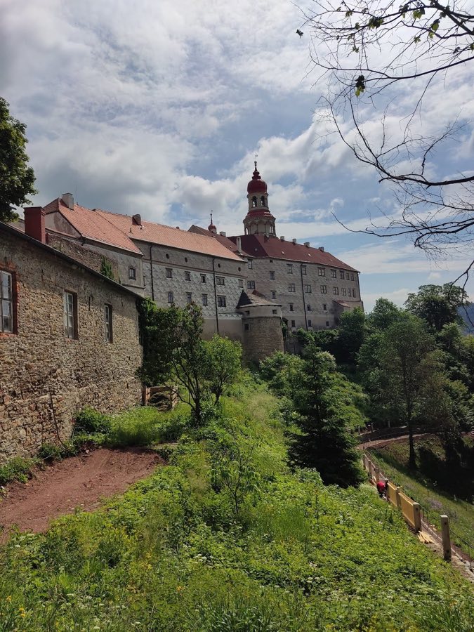
See all castles in CzechiaDobřany Castle stands in Dobřany, Czech Republic; it was erected in the medieval period by vassals serving the Lords of Drslavice. The stronghold was raised around the turn of the 13th to the 14th century to guard a trade route running through the Goldbachtal toward the Glatzer basin. Its position on the ridge made it the largest and highest element in a chain of six fortifications that ran along the same valley, linking Chábory with Skalka, Kamenice, Kounov and Hluky.
During the 1300s the site passed into the hands of the Lords of Dobruška. By the later decades of that century the castle’s active role appears to have declined, and activity shifted to the nearby fortification at Frymburk. Records indicate the stronghold was not rebuilt after its end; one line of tradition holds that it was abandoned in favor of Frymburk near the close of the 14th century.
An armed action in 1425 by Hussite forces is recorded as the castle’s final violent episode. Both lines of evidence are reported: abandonment before the 15th century and destruction by the Hussites in 1425. These accounts can be read together, so the castle may have been left empty before the Hussite attack removed what remained. It was never reconstructed and its original name disappeared; from the 18th century onward the ruin was simply called “Hrad.”
The ruin received legal protection as a cultural monument in 1958. In the second half of the 20th century work connected with a pioneer camp removed two to three metres of the outer bailey without archaeological oversight, altering the ground plan. A storm in 1989 brought down trees that exposed wall fragments up to about three metres high, but the later clearance of the windfall with tractors and agricultural machines caused serious further damage to the fabric.
The castle occupies a long hilltop ridge that runs for more than 250 metres. The core on the plateau is enclosed by a stone curtain wall and by a rock-cut moat excavated against the slope, which measures roughly 32 metres across and descends as much as 18 metres. These large earth-and-rock defensive works date to the original building phase at the end of the 13th and start of the 14th century and remain visible as the main structuring elements of the site.
At the highest point the curtain wall surrounded a round main tower with a diameter of about 12 metres. To the southwest of this tower a horseshoe-shaped bastion was built as part of the enclosing wall, strengthening the line of defence on that side. These features reflect the castle’s role as a fortified lookout and last point of resistance on the ridge.
On a slightly lower terrace to the west of the main tower the principal residential block, the palas, occupies a rectangular footprint subdivided into two rooms measuring approximately 30 by 12 metres. The north side of this building was integrated into the curtain wall. Immediately south of the palas, and sited above the castle well, stands another building whose precise purpose is not recorded; together these two structures filled the central area of the main castle and a stair from the southern side led up to the wall-walk on the curtain wall.
Further west and lower down lies a trapezoidal upper bailey. It was defended by two earthen ramparts standing two to three metres high and about six metres across. The bailey’s long southwest side measured about 52 metres with a width of roughly 16 metres, while the north and south sides measured about 32 and 48 metres respectively. Access to the main stronghold most likely led from the west through this upper enclosure.
Below the main plateau the lower, or outer, bailey occupies the lower terrace and centred on a courtyard west of the upper enclosure. That courtyard filled the lower plateau and measured about 70 by 20 metres. A single gate on the southwest side of this area served as the entrance to the whole complex, and the western edge of the outer bailey is defined by steep rock cliffs falling toward the Goldbachtal. The plan and arrangement of these courts show clear parallels with the layout of the nearby castle Hlodný at Alba and with the smaller fortification at Hluky.
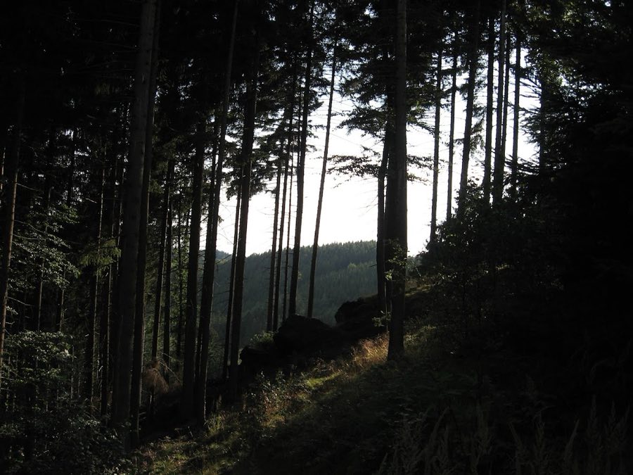
The site survives as a ruin, partly hidden by forest. After trees were felled in 1989 wall remains of up to about three metres in height could be seen in places. During 20th-century clearing operations and the mechanical removal of storm timber the masonry suffered heavy damage, and the lower court lost two to three metres of its original ground to construction activity, leaving the surviving fragments in a fragmentary condition.
No. 20496
No. 90554
No. 45883
No. 84586
Comments
Comments for Dobřany Castle will require a verified account before posting.
We'll send a verification link before your first comment is published.