No. 78525
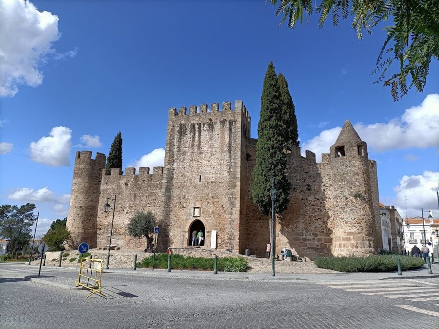
Castle of Alter do Chão
Portugal
CastleRestored2nd century
No. 12299
Castle · Portugal
No. 12299 · 39.189 N, 7.623 W
Quick summary
Alter Pedroso is a castle in Portugal with origins associated with the 13th century.
See all castles in PortugalThe Castle of Alter Pedroso stands on a rural hilltop in the municipality of Alter do Chão, Portugal, and was originally built by a Muslim settlement that occupied the site in the twelfth and thirteenth centuries.
During the twelfth and early thirteenth centuries the hilltop functioned as a fortified settlement within a broad Muslim presence in the landscape. By 1211 the fortifications were recorded among the holdings of the military Order of São Bento of Aviz, indicating a transfer of control into Christian hands or influence at that date. In 1216 King Afonso II issued a charter to D. Fernando Anes, and on 30 June 1249 King Afonso III confirmed the donation of the site to the Order of Aviz.
A small religious building dedicated to São Bento was erected between 1279 and 1325, a phase linked in records with King Dinis and references to Rui de Pina. Later reports indicate that, in the period between 1350 and 1450, the site was recorded as lacking a standing fortification or castle.
In 1662, during the Portuguese Restoration War, forces under John (Juan) of Austria surprised and captured the site. Contemporary accounts state that it fell, was destroyed and was left in ruins after that action. In the later nineteenth century a cemetery was established nearby in 1886, marking a new use of the immediate landscape around the ruined defenses.
Significant change to the surviving fabric occurred in 1940 when construction of a municipal roadway removed the southwest line of walls and builders reused masonry from the site. A geodesic marker, a lookout and a municipal water reservoir were later placed within the hilltop area. The remains were formally classified as an Imóvel de Interesse Público on 29 September 1977, and on 1 June 1992 responsibility for the property was assigned to the national heritage institute by decree 106F/92.
The ruined castle occupies an elliptical area set along a north–south axis, with its longest measure about 86 metres and its shorter axis roughly 50 metres. The hill rises to about 420.9 metres above sea level and the surviving built elements cling to rocky slopes and outcrops. The defensive lines were constructed in local stone and in places the walls tie directly into the bedrock, producing a stitched appearance where masonry meets rock.
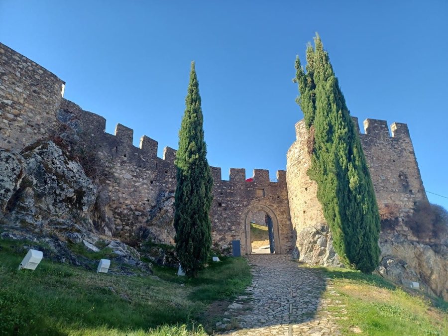
Surviving sections of curtain wall include the exposed base of a west wall extending some 13.5 metres, and a 3.3-metre fragment on the north side that is attached to the rock. To the east a short wall links into bedrock. On the south and southeast there are two roughly parallel wall traces, each about 1.6 metres wide and between 6.2 and 10.5 metres long, which meet at an obtuse angle and conclude at a corbel measuring about 2.9 metres. Foundations of a south wall run approximately 16 metres from the cemetery to a corbel. A pointed, ogive gate survives on the southern side, framed by granite jambs measuring between 1.9 and 2.4 metres, and a short, perpendicular wall projects northwest from that opening. A Gothic-style portal is among the earliest dressed elements still visible.
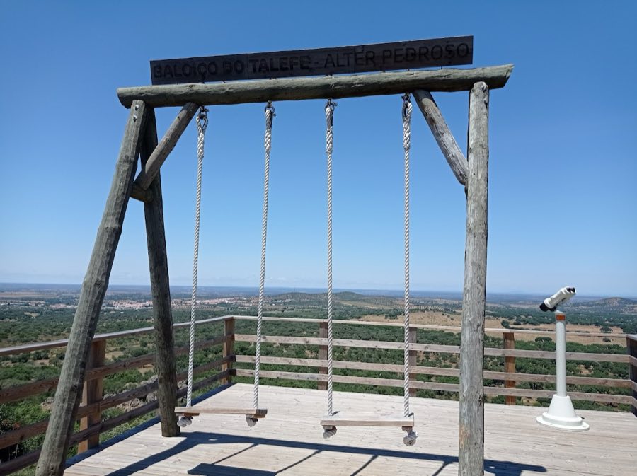
Within the former courtyard a geodesic survey marker sits at an elevation of 412.83 metres, while the hilltop reaches 420.9 metres. Modern interventions occupy parts of the site: a lookout and a municipal water reservoir lie to the southeast, and a firefighters’ observation post is positioned in the lower sweep of the slopes. In 1940 masonry from the southwest defensive line was removed and reused for road construction, a reuse that altered the plan and left many wall segments fragmentary.
Directly below and just west of the castle the remains of the Hermitage of São Bento stand in ruin but retain identifiable architectural elements. The chapel follows a simple longitudinal plan, with a nave measuring about 4.0 by 4.9 metres and a chancel approximately 2.15 by 4.10 metres. A triumphal rounded arch separates these spaces, and a vestigial niche about 0.47 metres in size can be seen. The hermitage complex contains a small west–east atrium of roughly 4.75 by 3.40 metres that provides access to the doorway and the adjacent cemetery; a bell structure is attached above this entrance. The chapel doorway itself survives as a distinct element.
Construction details in the hermitage include a portico formed with a chamfered arch set in tile masonry and internal divisions expressed as thirteen compartments with wall thicknesses nearing 0.50 metres. To the east of the castle a small cistern about 1.9 metres deep is recorded south of the lookout. Overall the site presents a patchwork of foundations, corbels, wall fragments and the hermitage ruins, with later municipal features and nineteenth- and twentieth-century interventions evident in the present landscape.
No. 78525
No. 31088
No. 72828
No. 47005
Comments
Comments for Alter Pedroso will require a verified account before posting.
We'll send a verification link before your first comment is published.