No. 36806
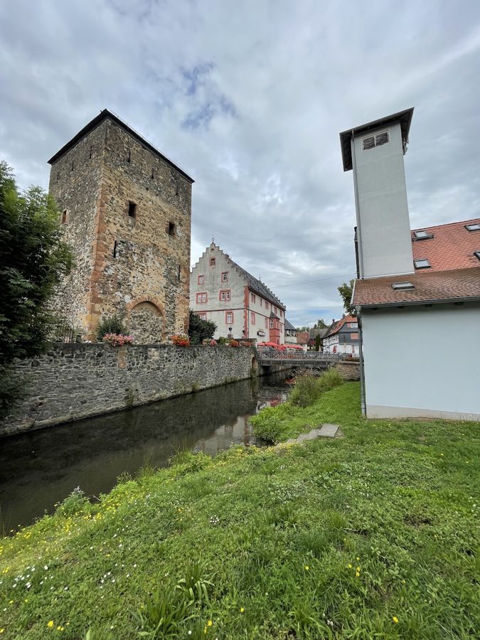
Burg Staden
Germany
CastleRestoredFor rent12th century
No. 74221
Castle · Germany
No. 74221 · 50.311 N, 9.015 E
Quick summary
Burg Glauburg is a castle in Germany with origins associated with the 13th century.
See all castles in GermanyBurg Glauburg, in the municipality of Glauburg, Germany, developed from early habitation into fortified sites under Frankish control and later became part of the Staufer medieval castle network.
The hill was occupied from early times and during the 7th to 9th centuries it hosted a sizable Frankish fortification. This early phase established the site as a defended settlement on the basalt ridge, with defensive works and an inhabited plateau in use during the early medieval period.
In the 1100s and 1200s the castle was folded into the Staufer system of fortresses that defended and administered the Wetterau region. Documentary records from 1247 name the Frankfurt patrician family called Glauburg, the lords of Düdelsheim, and other joint heirs in connection with the place, and the site served as the ancestral seat of the Glauburg family.
Documentary and archaeological evidence indicate that the castle complex was destroyed and the settlement on the hill came to an end, probably in 1256.
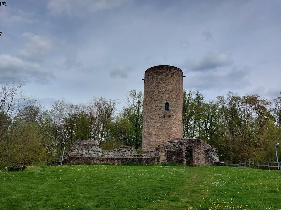
The site occupies a basalt ridge rising to about 276 meters and survives as the ruined remains of a medieval hill castle. Buildings and defensive works are concentrated on a central plateau surrounded by a ring wall. Excavation and reconstruction have exposed foundation lines, cellars, and wall fragments that define the former layout of the fortified settlement.
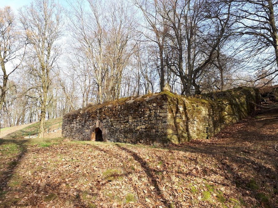
A tower-like building once stood at the edge of the defensive enclosure; its lowest stage survives as a rubble-stone ground floor. That base contains a Romanesque-style arched entrance, and the masonry of this section is preserved in situ as a fragmentary but recognisable part of the former keep or tower structure.
Along the inner face of the ring wall archaeologists have revealed several cellars and annexed structures that belonged to the medieval castle complex. These remain as exposed foundation courses and substructures, showing how buildings were set against the defensive circuit and reused the wall line for support; the surviving walls and storage spaces are visible on the plateau today.
On the north side of the defensive line a continuous row of houses has been identified, with direct access from the interior of the plateau. Foundation traces at the north edge mark medieval dwellings, and a northwest series of houses has been attributed to the Staufer-period settlement; that northwest area is described in the records as having held town rights, with access from the side away from the defensive works.
The main southern entrance, known in the documentation as the Enzheimer Gate, has foundation walls that have been reconstructed. In the immediate east and southeast of that gate area individual foundation remains appear, and the gate complex in the southern sector survives today as reconstructed foundation walls forming the former approach into the fortified plateau.
East of the southern entrance a cistern system was excavated to about five meters deep and interpreted as a rainwater collection feature. This enclosed waterworks supplied the plateau and is comparable to an open water point on the central plateau that was used in early periods, including during the earlier Celtic occupation. The cistern survives as an excavated feature in situ.
Overall the site is preserved as a ruin with a surviving rubble-stone ground floor, exposed foundations, and reconstructed wall sections. Excavated cellars, house foundations, and the cistern system remain visible, providing the physical evidence for the castle’s medieval occupation and its earlier phases of use.
No. 36806
No. 37993
No. 77410
No. 46719
Comments
Comments for Burg Glauburg will require a verified account before posting.
We'll send a verification link before your first comment is published.