No. 15270
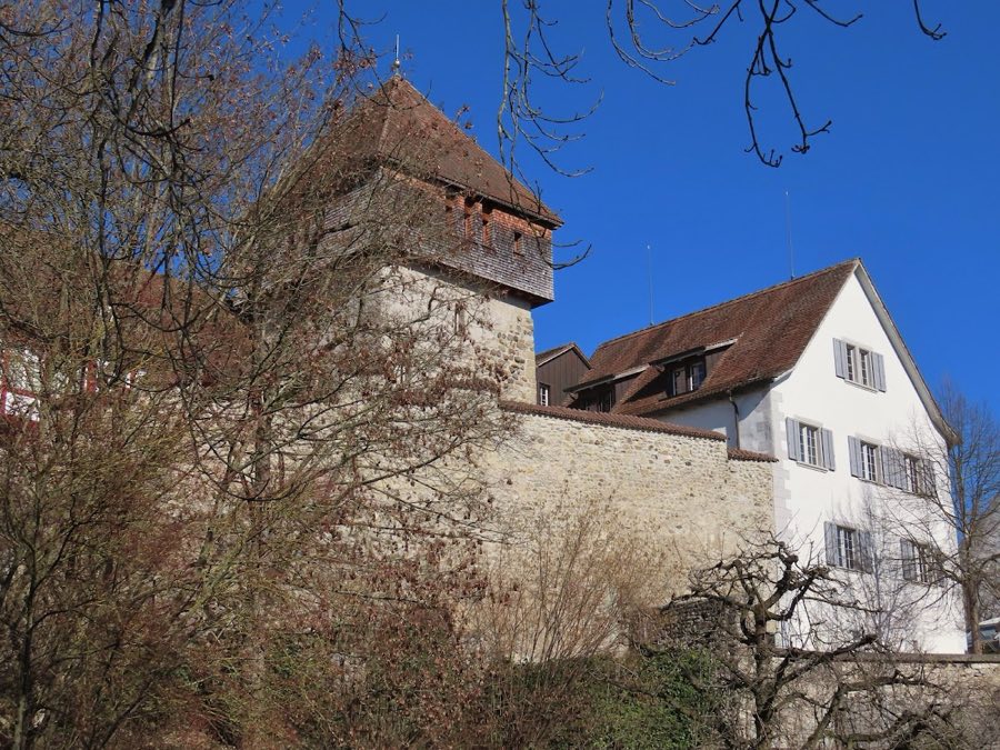
Unterhof Castle
Switzerland
CastleRestoredFor rent15th century
No. 92701
No. 92701 · 47.704 N, 8.749 E
Quick summary
Bürglischloss is a castle in Germany with origins associated with the 11th century.
See all castles in GermanyBürglischloss stands as the ruined spur castle near Gailingen am Hochrhein in Germany, erected by a medieval local noble family known as the von Gailingen.
Evidence for people linked to the site reaches back to the late eleventh century, when a person called Herimannuns de Gielingin is recorded in 1087. A small bronze bell recovered at the site in 1998 was dated to about 1050 through stylistic and material study, and its origin has been proposed as the island monastery of Reichenau; investigators have suggested the bell may once have sounded in an eleventh‑century chapel at the edge of the village of Gailingen, or it may have belonged to a chapel associated with the castle itself.
By the thirteenth century the place appears in documentary tradition as the old castle of Gailingen. The von Gailingen family are identified as builders of the hilltop stronghold before 1278, and a record from that year calls it antiquum castrum Gailingen. A related lower‑noble branch of the same name is attested in Schaffhausen in 1253. The family name disappears from records after 1466.
Seventeenth‑century observation recorded that the castle had already been reduced to a ruin. In 1606 the chronicler Johann Jacob Rüeger described the site as a hill with still visible remains. Modern interventions on the spur include a television repeater installed in 1971, removed before a two‑storey wooden observation tower was erected by the local Schwarzwaldverein group with support from the THW in 1998. During groundworks for a bench that same year the bell was uncovered; restoration specialists, archaeologists, and monument authorities examined the object and carried out material analysis. Major winter storms and windfall in 1999 and 2000 exposed the earthworks anew and made the medieval site clearly visible as an archaeological monument.
The castle occupies a narrow, two‑part mound projecting from the hillside, aligned roughly from the northeast toward the south‑southwest and filling about 1,200 square metres. The layout follows the form of a spur castle, where the natural slope of the spur was shaped by man to create two distinct defensive platforms separated by a deep neck ditch. The whole ridge measures about one hundred metres in length.
The dividing neck ditch that cuts across the spur measures roughly fourteen and a half metres across and reaches five to six metres in depth, forming the principal barrier between the two terraces. The northern terrace extends for about fifty‑five metres with a width of twelve to fifteen metres, while the southern terrace is about thirty‑five metres long and between fifteen and eighteen metres wide. Along the rim of the site a former ring ditch runs around the hill, up to five metres wide, and lies some five metres below the plateau on the northern side and roughly ten metres below the plateau on the southern side.
Earthworks and building collapse mark much of the surface. A near‑one‑metre high outer fore‑rampart survives on the slope, and several zones of fallen masonry indicate where walls once stood, including a pronounced collapse area immediately beside the neck ditch. In the eastern sector of the southern platform a long rectangular hollow has been recorded and is interpreted as the footprint of a major building, possibly the principal hall of the complex.
The northern platform is itself divided by a partly erased internal neck ditch that leads up to a small, higher plateau on the northeast side, raised by one to three metres above the surrounding terrace. At the centre of this higher spot a roughly one‑metre high mound stands within a scatter of collapse measuring about ten to twelve metres across, interpreted as the remains of a tower. A faint transverse wall or rampart on the slope facing the mountain appears consistent with an outer enclosure that once strengthened that side of the stronghold.
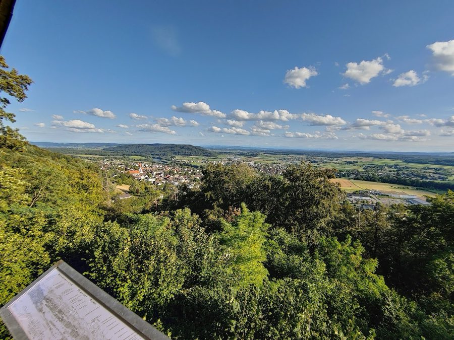
A modern two‑storey wooden observation tower occupies part of the site, built in 1998 where a television repeater had stood since 1971. The bell found in 1998 is a small bronze instrument, about 125 millimetres in diameter and 157 millimetres high, cast in a copper‑tin alloy and bearing decorative features that informed its dating to around 1050. Specialists involved in its recovery and study have proposed Reichenau as its likely origin and suggested it may have served either a village chapel at the edge of Gailingen in the eleventh century or a chapel connected with the castle. The site commands long views across the Rhine valley, stretching toward Vorarlberg and the Bernese Alps. The easiest pedestrian approach is from the east, from the parking area of the nearby neurological hospital.
No. 15270
No. 71845
No. 47357
No. 59077
Comments
Comments for Bürglischloss will require a verified account before posting.
We'll send a verification link before your first comment is published.