No. 28797
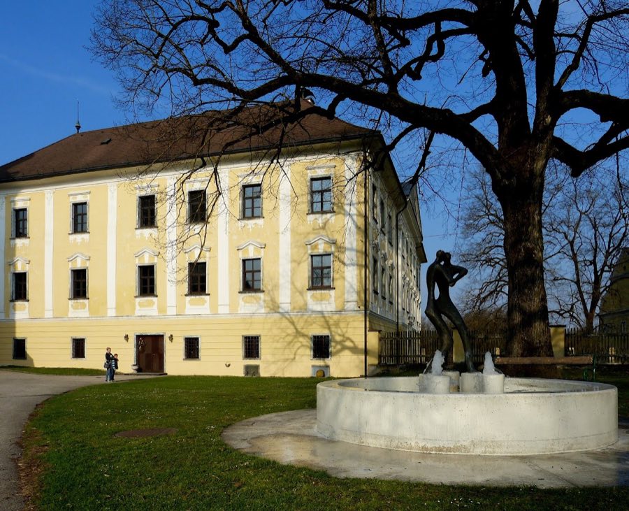
Schloss Grafenstein
Austria
CastleRuin14th century
No. 69686
Castle · Austria
No. 69686 · 46.601 N, 14.461 E
Quick summary
Burgruine Grafenstein is a castle in Austria with origins associated with the 12th century.
See all castles in AustriaBurgruine Grafenstein stands in Grafenstein, Austria, and was constructed during the medieval period for the regional feudal elite.
The castle first appears in a surviving record dated 20 June 1158, when Bishop Roman I of Gurk granted the duke Heinrich V of Spanheim the farm known as Gravindorf and named the nearby fortress as Gravenstaine. Duke Heinrich entrusted the site to a vassal, Heinrich von Truchsen, and later the role of burgrave passed to Heinrich’s sons Gottfried and Adalbert (also recorded as Albert). During the later twelfth century a noble line that grew out of the Trixen Grafen family adopted the castle’s name and became known as the Grafensteiner family.
Members of the Grafensteiner line appear in the record through the early thirteenth century. One named Heinrich von Grafenstein took part in a tournament at St. Veit in 1227. Another, Rudolf von Grafenstein, left a seal that was later chosen as the municipal coat of arms in 1954. After the Grafensteiner line died out and the neighbouring settlement expanded, the fortress was repeatedly pledged and passed to new owners, appearing in transactions in the fourteenth century, including a transfer in 1330 to Hans Liebenberg and another in 1351 to the Kraiger family.
A catastrophic landslide and earthquake in 1348, the collapse of the Dobratsch massif, is cited as the most likely cause of the castle’s terminal damage. From that point onward the site is recorded only as a castle site, and over the following three centuries it declined in importance and fell into decay. On 30 July 1629 Johann Andreas von Rosenberg acquired the lordship of Grafenstein together with the ruined stronghold. In later local memory the location became known as Schloss Lerchenau and passed into regional legend. In the 1920s Franz Xaver Kohla carried out archaeological excavation work at the top of the rock cone and uncovered sections of a surrounding wall; those exposed elements were subsequently reburied and have since grown over.
The ruin is of a Romanesque type and occupies the crest of a steep rock cone rising about twenty metres above its surroundings. The castle sits on the north slope of the Skarbin, the eastern spur of the Sattnitz ridge, and commands a view over the Klagenfurt Basin. The site is approachable only from the north along a farm access way that leads up to the rock.
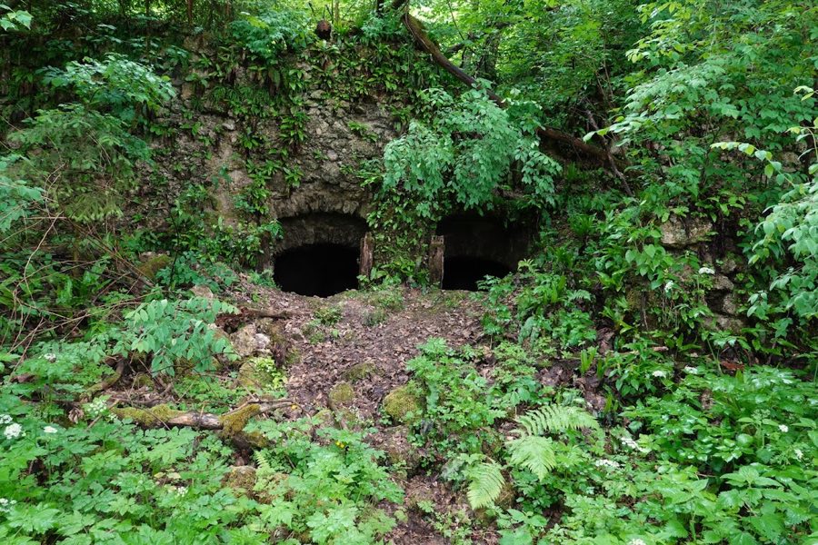
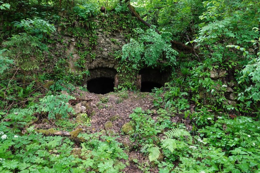
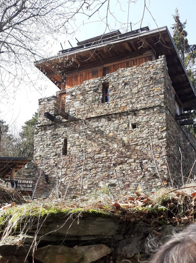
On the steep, north-facing side of the rock cone there are visible traces of masonry and a discernible Romanesque ground plan, indicating the position of the former building complex. The natural bedrock contains many cavities and niches that were enlarged by human work; fragments of stone construction survive within several of these rock hollows, showing that the builders incorporated and adapted the underlying rock in their layouts.
Excavation work in the 1920s uncovered parts of a wall that once encircled the top of the cone, a defensive ring that belonged to the Romanesque phase of the castle. Those remains were reburied after investigation and are now overgrown. Overall the site survives as a ruinous castle area with scattered masonry in situ and archaeologically documented features that have been covered again and left to vegetation. Contemporary descriptions emphasize the ruined character of the place and the way the old fortification remains tied to the bedrock outcrop.
No. 28797
No. 99891
No. 15657
No. 84233
Comments
Comments for Burgruine Grafenstein will require a verified account before posting.
We'll send a verification link before your first comment is published.