No. 33846
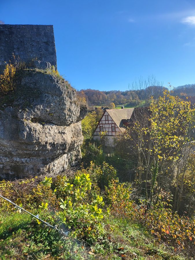
Burgruine Osternohe
Germany
CastleRuinFor events19th century
No. 66521
Castle · Germany
No. 66521 · 49.636 N, 11.424 E
Quick summary
Burgruine Riegelstein is a castle in Germany with origins associated with the 12th century.
See all castles in GermanyBurgruine Riegelstein in Bad Wimpfen, Germany was built by medieval German nobility.
The earliest material connected with the site includes pottery that has been dated to around 1200, and a named individual, Heinricus Türrigl, appears in documents as a witness shortly before 1260. Another dating places construction of the castle at about 1360 and links it to the Türrigel family, though their role as builders is not confirmed. The castle is first recorded as the residence of Hans, Georg, Dietrich and Heinz Türriegel around 1403; these brothers thereafter used the surname zum Riegelstein, tying the family name to the place.
In the early sixteenth century the Türriegel family altered their ties to regional power. On 15 February 1502 Hans and Konz Türriegel granted two thirds of the castle in feudal tenure to Margrave Friedrich II of Bayreuth and gave him the right to use the castle in wartime. On 16 June 1502 Heinz Türrigel conveyed the remaining third to the margrave, completing the margrave’s claim over the site.
The family line ended with the death of Georg Michael Türriegel on 24 March 1619. The margrave then seized the castle and granted it to Henning von Wilmersdorf. After 1637 Maria Elisabeth von Wilmersdorf took steps that prevented a further seizure by the margraves. During the Thirty Years’ War the castle was occupied and, after 1642, destroyed by Kur-Bavarian troops, leaving the structure ruined. By 1648 and 1649 the site was described as uninhabitable, and in 1691 it was reported as wholly desolate. The ruin later supplied building stone, and in 1714 the site passed in sale to Christoph Ludwig Lochner von Hüttenbach. A detailed topographic map made in 1792 shows remaining wall traces and a well or cesspit, and a description from 1794 records the ruin as fallen into complete decay. In 1870 the estate was purchased by the Freiherren von Harsdorf. The site is today entered in the registry of historic monuments as a medieval burgstall under number D-4-6334-0009.
The castle occupied the highest point of the Schlossberg where the plan divides into an upper stronghold on a rocky reef and a lower enclosure at the slope below. The whole complex follows an almost circular arrangement split north to south into two semicircular zones, the lower enclosure to the west and the rock-borne upper castle to the east. The rocky reef that held the upper castle measures roughly twenty-five by ten metres and rises between five and fifteen metres above its base, standing about ten metres above the lower platform and falling steeply on three sides.
A deep rock-cut defensive trench crosses the ridge as a significant artificial barrier. This neck ditch is about fifty metres long, four metres across and eight metres deep, its excavated material left as a spoil heap to the east. Immediately beside the ditch a narrow rock rib was intentionally left standing and served as the bearing for a bridge or timber work. A second trench lies two metres beyond the first; it follows a semicircular line around the lower enclosure, measures about thirty metres long, ten metres wide and one metre deep, and sits seven metres higher than the neck ditch. This second trench functioned as an outer defensive enclosure, creating a confined area between the two cuts in the rock.
Access to the lower enclosure was arranged to cross both trenches. The sequence would have been a bridge spanning the neck ditch, then a further crossing over the second trench by a drawbridge to reach a projecting gate tower on the south side of the lower area. The gate tower extended a few metres from the circular outer wall; its foundations remain and fragments of roof tile and hardened mortar are scattered nearby. South of the gate tower, between that tower and the rock reef, foundation traces mark a building with an irregular triangular footprint.
The lower enclosure platform sits approximately 4.5 metres above the bed of the semicircular trench and was ringed by a wall around two metres thick, visible in places where it met the rock to the north and south. Near the northern sector of the lower area a small round cistern survives with a diameter of about one metre and a present depth near one and a half metres. At the western edge of the lower enclosure, immediately south of the cistern, the ground forms a hollow that marks the footprint of a building roughly fifteen by eight metres; its western outer wall also formed part of the enclosing wall. The central space within the lower enclosure served as the castle yard.
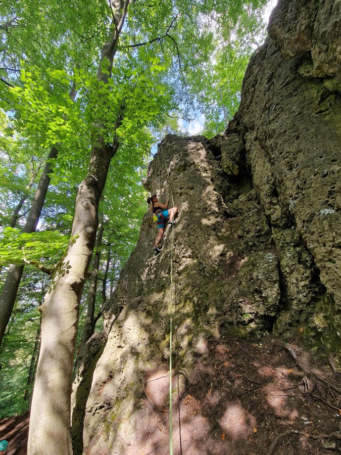
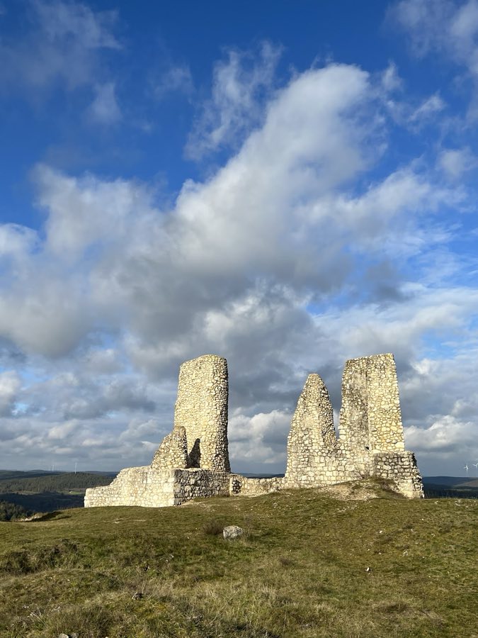
On the upper rock several building locations are attested by fragments of masonry and platform remains, with small stonework visible along the eastern edge of the summit. At the eastern foot of the reef there is a small cave set about fifteen metres below the upper plateau. The cave was walled closed on its outer side and has been suggested by one investigator as having been linked to the top by a concealed escape passage, although that connection is a proposed interpretation. The present site is densely wooded, the rock is used today for climbing, and only the two rock-cut ditches together with a few unsecured fragments of wall remain in situ, putting the surviving features at risk of complete loss.
No. 33846
No. 32188
No. 48561
No. 45707
Comments
Comments for Burgruine Riegelstein will require a verified account before posting.
We'll send a verification link before your first comment is published.