No. 34159
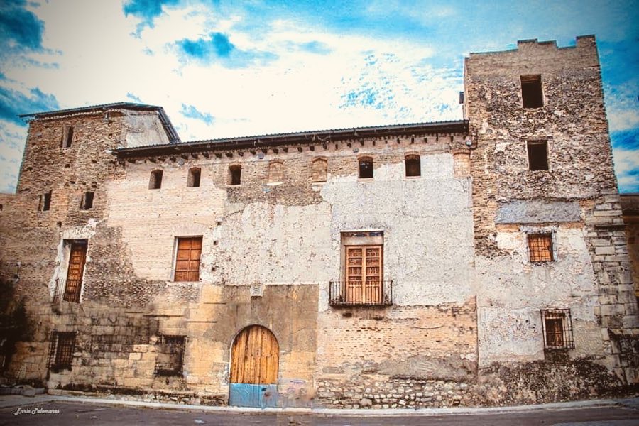
Palau dels Bellvís
Spain
PalaceIntact16th century
No. 20047
No. 20047 · 38.977 N, 0.679 W
Quick summary
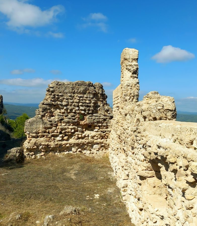
Castle of Enguera is a castle in Spain with origins associated with the 13th century.
See all castles in SpainThe Castle of Enguera stands above the town of Enguera, Spain; it was constructed under Muslim rule.
The earliest phase dates to between the eleventh and twelfth centuries, and for a short time in the twelfth century Enguera served as the administrative center of a taifa that reached as far as Denia. During this period the site functioned as a local stronghold within an established network of fortified places.
Castilian forces led by Pedro Núñez de Guzmán captured the fortress and carried out alterations before the area passed into the hands of the Crown of Aragon under King Jaime I. In 1244 the king granted the territory and castle to the Order of Santiago, creating the Encomienda de Enguera and delivering control to Fray Pelayo Pérez de Correa, the master of the Order.
Legal and military records show continued use in the later thirteenth and fourteenth centuries. In 1276 the Order received permission to stock the castle with wheat. In 1336 Pedro de Jérica attacked Enguera, and by 1350 the site appears in an inventory of defensive positions located south of the Júcar river. On 16 May 1365 King Pedro IV ordered the castle dismantled to deny its use to Castilian forces. Despite that command, documents from 1367 describe the provision of arms, in 1369 there were instructions to supply and repair the place, and inspections in 1370–1371 recorded shortcomings in its maintenance. In 1372 Pedro IV revoked the appointment of an alcaide for the fortress.
In 1475 King Juan II issued an order for the release of three Muslim prisoners held at the castle, naming Johan d’Ixar as the local commander for the Order of Santiago. The castle continued to exercise control over nearby territories, and its authority extended over the Muslim vassal lordship of Montesa until 1477.
By the early modern period the castle had lost its former strength. The Libro de la Venta of 1575 records the fortress as fallen. The earthquake of 1748 damaged the remaining structures and, together with long-term exposure, led to further ruin. The site is now recorded as a protected cultural property, with official designation granted on 27 August 2001.
Throughout its history the fortress served military purposes, including territorial control and the quartering of troops, and it formed part of a defensive network connected with Xàtiva while overseeing a group of roads that run at the hill’s base.
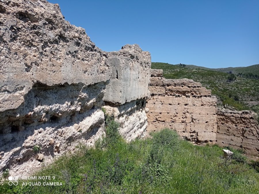
The ruined ensemble preserves two successive walled enclosures, one set below the other, with the main enclosure occupying the hilltop and a lower enclosure forming an outer defensive wall at the hill’s foot. Construction is dominated by rammed-earth work, a technique in which earth mixed with lime is poured into temporary formwork to build thick wall faces, while some upper sections show rubble masonry and only limited use of cut stone.
The lower enclosure follows an irregular polygonal plan and contains numerous Islamic-period elements. It adapts to the slope and acts as an outer wall to protect the main fortification. Within this lower circuit stand towers with rectangular ground plans, now heavily damaged, and there are traces of still earlier low-lying defenses that are more fragmentary.
The principal enclosure on the summit preserves wall stretches and several angular towers that bear features associated with later, Christian occupation. On the southern side an advanced tower exhibits narrow vertical slits for shooting, and in the same sector a bastion incorporates two towers. At the centre of the upper enclosure are the ruins of a large keep built with cut stone; this ashlar-built tower may have served as the main tower of homage.
A decorative treatment survives in the northeast corner of the second enclosure in the form of mouldings that imitate large ashlar blocks, a false ashlar dressing executed with rectangular-section elements. This decoration belongs to the final decades of the twelfth century or earlier, and it cannot postdate the period 1184–1199. Overall the towers and lower defenses are described as much damaged, the castle was reported as fallen by 1575, and later destruction including the earthquake of 1748 and long-term weathering have left the remains in a ruined condition.
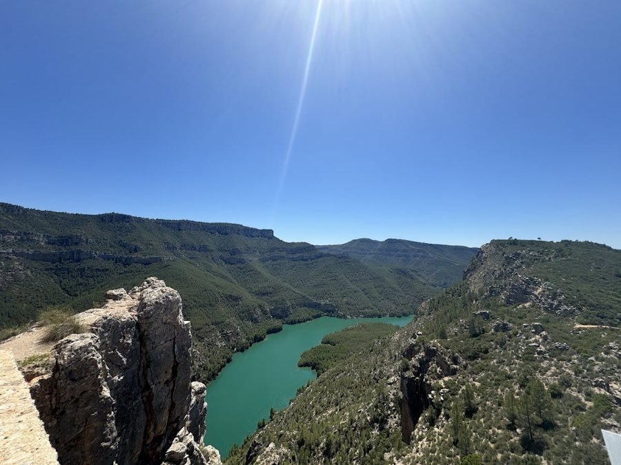
The ruined enclosures occupy a commanding position above several historic routes. At the slope below the castle run roads that include an old line linking Almansa and Ayora with the valley of the river Cáñoles, the last stretch passing through the old La Alcudia pass, and a variant route toward Montesa that crosses the Sierra de la Plana near El Piquet. These ways were in use at least since the Iberian period and lie immediately beneath the surviving fortifications.
No. 34159
No. 56106
No. 62521
No. 19013
Comments
Comments for Castle of Enguera will require a verified account before posting.
We'll send a verification link before your first comment is published.