No. 24276
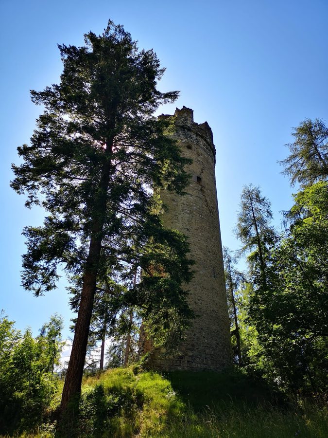
Burg Valendas
Switzerland
CastleRuin13th century
No. 50573
Castle · Switzerland
No. 50573 · 46.829 N, 9.350 E
For events
Crap Sogn Parcazi is marked as a château or castle venue lead. Capacity, indoor/outdoor spaces, catering rules, and accommodation options are published only after public verification.
Event types: Private events, Cultural gatherings, Filming and photography
Quick summary
Crap Sogn Parcazi is a castle in Switzerland with origins associated with the 13th century.
See all castles in SwitzerlandCrap Sogn Parcazi in the municipality of Trin, Switzerland was established by early medieval Christian builders. Early chronicles attribute the foundation to Pepin, the father of Charlemagne, and the first church on the site may date to the eighth century, possibly replacing an earlier pre-Christian cult location.
In the ninth or tenth century the emperor grouped the imperial estates of Trin, Tamins and Reichenau into the lordship known as Hohentrin and granted that domain to Reichenau Abbey. Over the later Middle Ages control of the hill passed between nobles, with documented transfers and ownership events recorded in 1314, by 1325, in 1398, 1428, 1568, 1583 and 1585. The site’s names reflect these changes, appearing as Crap Sogn Parcazi in Romansh and also as Hohentrins in later usage tied to the lordship.
The fortified church and refuge gradually took on a feudal character as buildings for residence and administration were added. The first residential tower was erected in the eleventh or twelfth century, and a great hall or palas was probably built around 1300. On the night of 2–3 July 1470 a fire devastated the complex while the vogt Otto Capol was away; three of his children and a maid died in the blaze, and the residence was not rebuilt, prompting Capol to move his seat elsewhere. Gothic stove tiles found at the site indicate occupation into the fifteenth century, though the date when the hilltop was finally abandoned is not recorded.
Excavation and conservation began in the twentieth century. Work started in 1931, with further digs in 1936 and 1937, and a conservation effort that ran out of funds in 1931 led to partial collapse of some structures. Additional excavations, repairs and reinforcement took place in 1964. During the Second World War the Swiss Army used the position, constructing two bunkers on the slope and an underground main work cut into the rock as part of the Sperrstelle Trin defensive line. The ruins were transferred to the municipality in 2004 and underwent archaeological excavation and repairs between 2006 and 2010, with extensive restoration of access and structures carried out by the Fundaziun Crap Sogn Barcazi from 2009 to 2011.
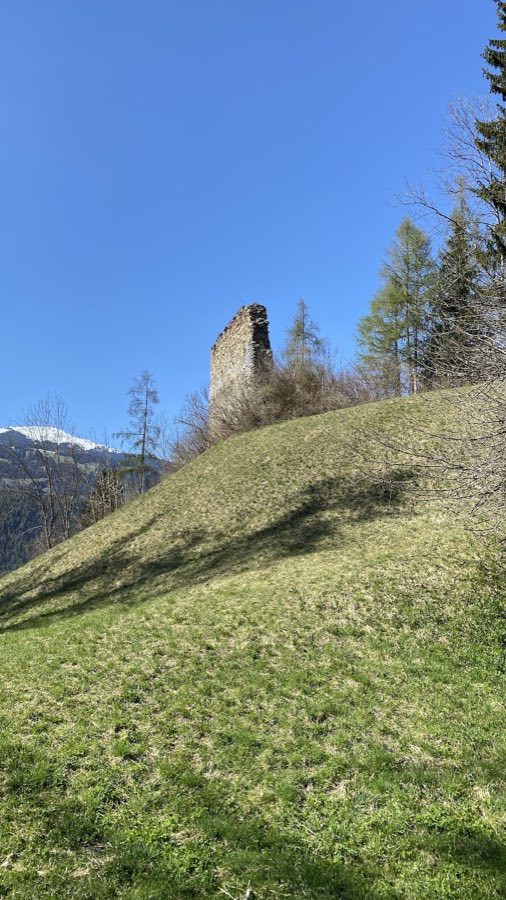
The ruins occupy the flattened top of a steep rock plateau west of Trin, sitting at about 1,050 meters above sea level and measuring roughly 50 by 80 meters. The summit was surrounded by a rubble stone enclosure likely built in the eleventh century, with the principal approach set on the north side; a steep trail from the old road climbs to the plateau, and the final ramp is hewn into the bedrock and fitted with ropes to aid the ascent. Foundations and fragments of walls lie across the summit, the result of centuries of building and later burial beneath collapse and debris.
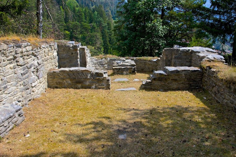
At the heart of the site stands the church dedicated to Saint Pancras, oriented approximately east to west and dated to about 1100. The simple plan included a nave terminating in an eastern apse, and the underlying Romanesque foundations remain visible. Small fragments of wall painting survive and were executed using an in-secco method, and the altar block and other foundational elements of the early church are preserved in situ.
Adjacent to the church are features linked to baptism and water management. A rectangular cemented feature added in the twelfth century has been interpreted as a baptized space or a cistern. Along the north wall of the nave a long, two-metre-wide subdivided chamber has been read as an early-Christian baptistery and is probably older than the main church building. In the northern courtyard a cistern that once collected and filtered roof runoff is still visible, showing how the community captured and stored water on the rock platform.
Residential and administrative buildings cluster toward the north and east of the plateau. An eleventh- or twelfth-century tower survives with external dimensions near eleven by seven metres and wall thickness reaching about 1.8 metres. Close by stands a rectangular, tower-like structure interpreted as the parson’s dwelling. A palas added in the thirteenth century runs along the northern edge and measures roughly eighteen metres in length, forming the principal domestic range. Later additions include an elongated building on the east side dated to the early fifteenth century, reflecting continued modification of the compound over time.
Finds and surface features record phases of occupation and reuse. Gothic stove tiles indicate fifteenth-century habitation, and many structural elements were covered by collapsed material until twentieth-century excavations revealed them. The twentieth century also left visible traces: two bunkers and an underground rock-cut main work installed by the Swiss Army during the Second World War survive on the hill, demonstrating twentieth-century military reuse of the site. Overall, foundations, portions of walls and several built features remain in situ and were stabilized and conserved during excavations and restoration work in recent decades.
No. 24276
No. 21462
No. 17007
No. 72102
Comments
Comments for Crap Sogn Parcazi will require a verified account before posting.
We'll send a verification link before your first comment is published.