No. 72985
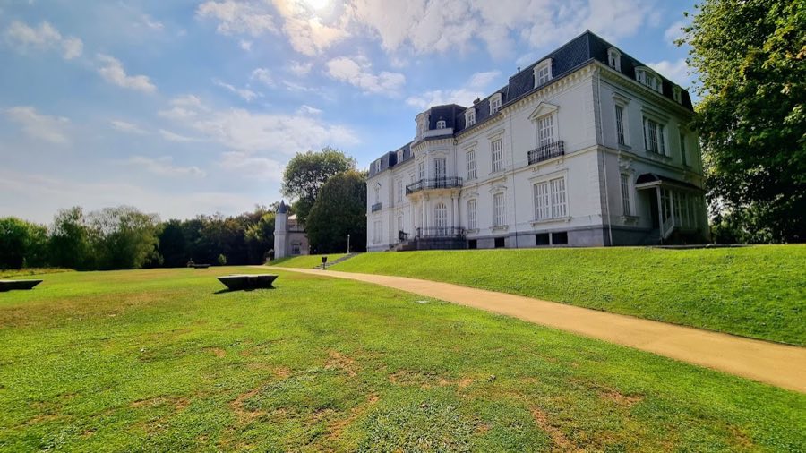
Palacio de Ayete
Spain
PalaceRestoredFor events19th century
No. 46108
No. 46108 · 43.340 N, 1.767 W
Quick summary
Gaztelu Zahar is a castle in Spain with origins associated with the 16th century.
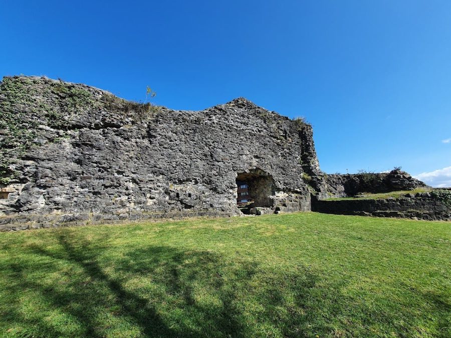
See all castles in SpainGaztelu Zahar gaztelua is located in Irún, a municipality in modern Spain, and was built by the kingdom of Castile in the early 16th century. Its construction was commissioned by King Ferdinand II of Aragon in 1518 to secure the frontier between Castile and neighboring regions, specifically to guard against incursions from France and the Kingdom of Navarre.
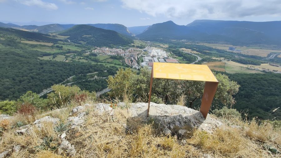
The castle’s strategic location on a hill overlooking the Behobia pass allowed it to control this key border crossing, which was critical during the conflicts of the early 1500s. Following the Franco-Navarrese invasion of Gipuzkoa in 1512, the site was selected to prevent French forces from crossing the nearby Bidasoa River. After completion, Hernán Pérez de Yarza was entrusted with the castle’s command, highlighting its military importance.
During the turbulent period of 1521-1522, which included the Battle of San Marcial, the castle saw conflict and was briefly occupied by opposing forces. As a result, it sustained significant damage. To prevent its use by Navarrese troops seeking to reclaim their kingdom, Emperor Charles I ordered the castle’s demolition in 1539. This process, finished by 1542, led to most of the castle’s stone materials being repurposed in the defensive walls of the nearby town of Fuenterrabía, now Hondarribia.
In later centuries, the castle became known as Gaztelu Zahar, or “old castle,” a name reflecting its ruined state after demolition. There were several suggestions for its reconstruction in the 1600s, and in 1719, some restoration and fortification activities took place connected to the War of Succession. More recently, the Basque Government recognized the site’s archaeological value in 1997, granting it preliminary protection. Its historical importance was further acknowledged in 2010 when it was added to the Monument Ensemble list associated with the Basque section of the Way of St. James pilgrimage route.
The castle is notable for its rare triangular floor plan, a design attributed to Diego de Vera. Each side of the triangle measures roughly 22 meters, with the structure maintaining a consistent width of about 5 meters. This layout was chosen to optimize defense, and the castle’s location on an elevated hill provided clear oversight of the Behobia pass, an essential strategic point for monitoring troop and artillery movements.
Constructed mainly of limestone blocks cemented with lime mortar and finished on the exterior with carefully cut ashlar stones, the castle’s walls were thick and sturdy. Each corner of the triangle featured a large circular bastion, known as a “cube,” about 21 meters across, equipped with gunports or “troneras” for artillery at both ground level and a higher level approximately six meters up, corresponding to an upper floor designed for defense and firing.
Today, two full sides of the castle survive intact, rising to about nine meters in height, while remnants of the bastions remain visible. One of the corner bastions is still greatly preserved, and traces of the other two can be identified within the ruins. The main entrance originally faced south, marking the principal point of access to the fortress.
While the interior structures have mostly vanished, the outline of one bastion and the internal walls can still be discerned, offering insight into the castle’s defensive arrangement. Over time, stones from the ruined fortress were reused in local fortifications, connecting the site’s remains to the broader military heritage of the region. These visible remains reflect the castle’s role as a military stronghold controlling one of the most important passages between territories during a turbulent period in Basque history.
No. 72985
No. 44549
No. 90137
No. 35218
Comments
Comments for Gaztelu Zahar will require a verified account before posting.
We'll send a verification link before your first comment is published.