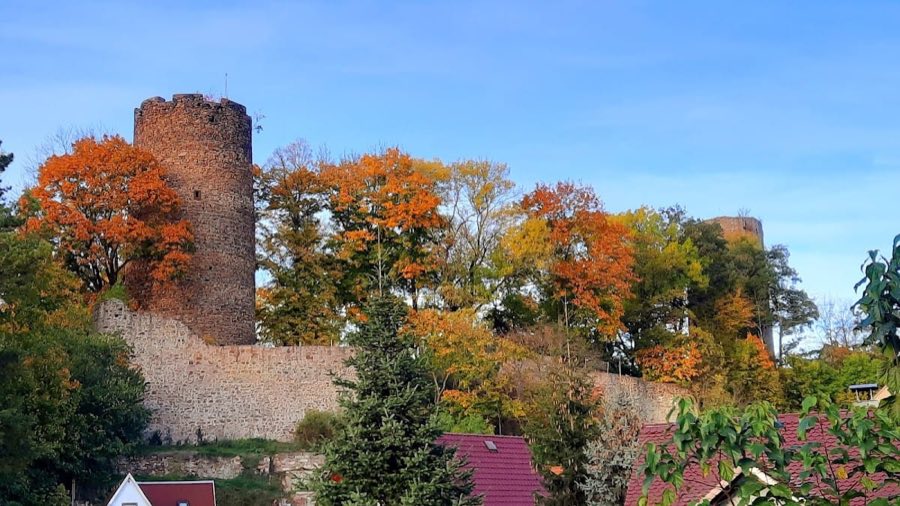
No. 87541
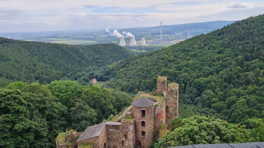
Kohren Castle
Germany
CastleRuin12th century
No. 85999
Castle · Germany
No. 85999 · 50.871 N, 12.901 E
Quick summary
Blankenau Castle (Grodzisko, Kłodzko) is a castle in Kłodzko), Germany with origins associated with the 19th century.
See all castles in GermanyBlankenau Castle stands in Grodzisko, Kłodzko, Poland, and was erected by medieval German nobles known as the Herren von Blankenau, a family formerly called von Gersdorf. Albert von Blankenau appears by name in a document of 1269, and the stronghold can be assumed to have existed by that year.
The site was probably destroyed in 1307 during the conflict between the Wettiner dynasty and King Albert I of the Habsburgs. In the decades after that fighting, the Blankenau estates were sold in stages to the Benedictine monastery at Chemnitz, transactions taking place between 1318 and 1378. Records of 1469 identify the manorial farm of Glösa as an estate connected with the former lordship; this farm has been interpreted as the castle’s economic courtyard. After the Reformation and the dissolution of the Benedictine house in 1548, the former Blankenau lordship passed to the Electoral Saxony administration at Chemnitz.
From the 19th century onward the site’s earthworks were deliberately altered and later erased. A nineteenth-century account records the grassed ditches and ramparts that once enclosed a raised central island, but the visible earthworks were levelled in 1874 and the last traces of ditches and banks were removed by complete overploughing in 1924. Two adjacent fishponds that lay beside the defensive rings were removed, probably in the nineteenth century, and the meandering course of the Chemnitz River was straightened in the early twentieth century. Construction of a motorway in the 1930s further changed the terrain. The location was officially protected as an archaeological monument on 16 March 1960.
No archaeological excavations had been carried out up to 2022; recorded finds come from the surface and include pottery sherds and a large Gothic key now held at the Schloßbergmuseum in Chemnitz, with the surface finds dated to the fourteenth and fifteenth centuries. A museum inventory noted that a single fired brick and the Gothic key were recorded as nineteenth‑century discoveries, the key being prepared for display while the fired brick’s status in the depot was unclear. Around 1995 planning for a new motorway exit was adjusted, moving the exit east after consultation between the state archaeological office and the state motorway authority so the protected site was taken into account. As of 2022 the burgstall lies on a privately owned meadow that is not cultivated.
The site occupies a circular motte complex defined by concentric defensive rings. The overall diameter of the surviving earthwork footprint measures roughly 156 metres, while a central core area was recorded at about 60 metres across on nineteenth‑century mapping. A nineteenth‑century witness described two concentric grassed ditches and banks surrounding a raised island, and modern laser surveys have confirmed a motte‑like arrangement of an elevated central mound within surrounding ringworks.
Two concentric water-filled ditches were reported in earlier accounts and appear on historic plans; later lidar data show three concentric rampart rings, though the outer rings are now hardly perceptible at ground level. An aerial photograph from 31 January 1995 shows the inner ditch clearly and traces of a wall, with the outer ditch only faintly visible on that image. Laser scans made in November 2012 reinforced the interpretation of a motte with surrounding defensive earthworks.
The central island functioned as the raised stronghold platform and is consistently recorded in descriptions and reconstructions. Surface finds associated with the site include medieval pottery sherds and a large Gothic key dated to the fourteenth–fifteenth centuries; a single fired brick is also recorded among the surface discoveries. The photographic record and the surface finds link the visible remains to medieval occupation and activity rather than to modern construction.
Historic maps and accounts show the defences were integrated with nearby water features. Two fishponds once sat beside the ringworks, separated by a bank, and older plans indicate the meandering Chemnitz River reached the ramparts and water ditches on the southwest side while the Heinersdorfer Bach protected the northern side. These water features formed part of the defensive setting in the site’s medieval phase.
Today the castle earthworks are largely levelled and the site is difficult to read on the ground; surviving traces survive chiefly in historic aerial photography and in lidar or laser survey data. The deliberate levelling carried out in 1874 and the thorough overploughing of 1924 removed the last obvious banks and ditches, so the remains are best documented through mapped measurements, aerial imagery, and subsurface-sensitive scanning rather than by visible standing features.
No. 87541
No. 72842
No. 92848
No. 77930
Comments
Comments for Blankenau Castle (Grodzisko, Kłodzko) will require a verified account before posting.
We'll send a verification link before your first comment is published.