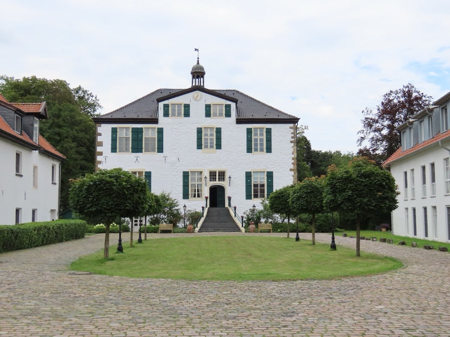
No. 98809
Haus Pröbsting
Germany
Manor houseRestored20th century
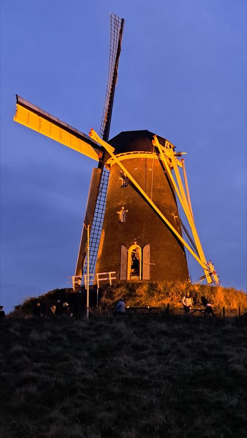
No. 98903
Castle · Netherlands
No. 98903 · 51.944 N, 6.618 E
Quick summary
Bredevoort Castle is a castle in Netherlands with origins associated with the 12th century.
See all castles in NetherlandsThe Castle of Bredevoort stands in the town of Bredevoort in the municipality of Aalten, Netherlands, and was erected by the region’s medieval feudal nobility.
The site appears in surviving records in 1188 under the Latin name castrum Breidervort, indicating an established stronghold by the late twelfth century. In 1238 the fortress passed by inheritance to the Counts of Lohn and the lords of Steinfurt. During this generation Hermann I of Lohn and Ludolf of Steinfurt carried out substantial strengthening works. Later, under Hermann II the course of the nearby Boven-Schlinge was altered so that water could be used to flood the castle’s moats.
Violence touched the castle in 1278 after Hermann II imprisoned Engelbert I of the Mark at Bredevoort; Engelbert died in custody sixteen days later. In the same year Eberhard, a son of the Mark family, mounted a siege and destroyed the fortress. The site returned to Count Herman II of Lohn in 1301, and the bishops of Münster and Cologne together paid for reconstruction of the castle.
Long-running regional conflict was brought to a formal end on 28 June 1326 when a peace treaty, signed also by the towns of Zutphen, Groenlo, Emmerich and Arnhem, transferred ownership of the county of Bredevoort and its jurisdictions to Reinoud II of Guelders. The castle remained in use through later centuries until 1646, when lightning struck the powder tower. The resulting explosion killed forty-nine people, explicitly including the local steward Wilhelm van Haersolte and his family, and the explosion left the fortress severely damaged. After that catastrophe the castle fell into ruin and was not rebuilt. The ruined walls remained a prominent feature of the town for more than one and a half centuries. The last contemporary report of a visible ruin dates to 1791, when William V inspected the remains according to the minutes of the local church council. Modern archaeological work in April and May 2009 exposed a small portion of the buried foundations near the former school on the ‘t Zand square.
Archaeological remains lie beneath and around the ‘t Zand square and the Hozenstraat, preserving the buried footprint of the medieval fortress. Excavations and exposures show the survival of foundations, fragments of walls, vaults, rubble deposits and passage-like features that belonged to the castle complex. These deposits are the physical remnants of a medieval stronghold whose recorded history begins in the late twelfth century.
A targeted excavation in 2009 revealed substantial wall fragments with preserved thicknesses of roughly 2.5 to 4.0 metres, indicating very robust masonry construction for defensive walls. The dig exposed foundation features and the outlines of a barbican, the forward defensive gateway complex, and these contours have since been marked on the ‘t Zand square with brass-coloured bands so the barbican’s plan is visible on the surface. The exposed sections are fragmentary and remain in situ beneath the square and adjacent streets.
Belowground features also include vaults and tunnel-like passages recorded during archaeological investigation, together with scattered rubble from collapsed structures. These elements testify to the layered construction and destruction phases the castle underwent between its medieval origins and its final ruin in the seventeenth century. The partial remains documented in 2009 lie close to where earlier records place the castle’s inner works and outer defenses.
Historical depictions and measurements accompany the archaeological record. Documentary and cartographic material describe the main central building as measuring about forty-two by thirty-six metres, a size that placed Bredevoort among the larger fortified houses in the region. Historic maps show the complex as a concentric watercastle with double moats, an enclosing wall and an outer bailey with corner towers; these representations inform how the buried remains are interpreted today. An 1882 drawing by Jacobus Craandijk depicts a square, moated plan resembling the type of the Muiderslot; that drawing is preserved in the historical record, but its fidelity to the medieval fabric is recorded as uncertain.
No. 98809
No. 70643
No. 18556
No. 15470
Comments
Comments for Bredevoort Castle will require a verified account before posting.
We'll send a verification link before your first comment is published.