No. 81331
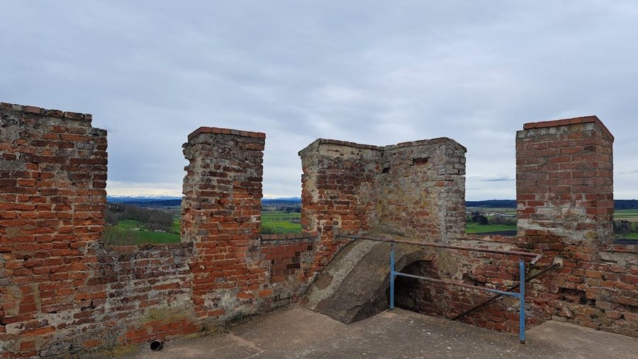
Burgruine Altenschönegg
Germany
CastleRuin13th century
No. 71057
Castle · Germany
No. 71057 · 47.901 N, 10.752 E
Quick summary
Burg Helmishofen is a castle in Germany with origins associated with the 12th century.
See all castles in GermanyBurg Helmishofen stands above the village of Helmishofen in Germany, and it was built in the high medieval period by a local ministerial family serving the collegiate church of Kempten.
The castle was established in the 12th century and the first documented occupants were the Herren von Helmishofen, ministerial officials who exercised bailiff and judicial rights in Helmishofen, Aufkirch, Blonhofen, Gerbishofen and Altensberg. Members of this family appear in records between 1190 and 1335 in the following succession: Adelgolz, Heinrich (1257), Heinrich (1262), Adelgolz (1287) and Heinrich (1332).
Military action and disasters affected the site in the late 13th and early 14th centuries. Forces from Bavaria laid unsuccessful sieges to the castle in 1269, 1270 and again in 1315. In 1312 a thunderstorm caused a fire that almost destroyed the stronghold, and the castle was rebuilt immediately afterward.
From 1335 until about 1380 the site housed a bailiff appointed by the collegiate church of Kempten. In 1348 Swigger von Mindelberg attacked, looted and set fire to the farmyard attached to the castle, but he withdrew when the Abbot of Kempten advanced to support the defenders. Ownership passed in 1380 to the Herren von Schmiechen, who are recorded at the site between 1387 and 1437 (named holders include Heinrich, Elisabeth and Stephan in 1398, Jörg from 1412, Heinrich from 1423 and Veit from 1437).
In 1437 the castle came into the possession of the Bishopric of Augsburg. The bishopric appointed a succession of stewards to administer the site, among them Stephan von Schwangau (1444), Konrad von Schellenberg (1447), Ulrich Burggraf (1457), Jörg von Villenbach (1461–1464), Lutz von Freyberg (1467–1487), Wolfhart von Knöringen (1488–1508) and Hans von Hirnheim (1512–1518). While under episcopal control, the stronghold served to secure trade routes coming from the south into Swabia.
Philipp von Landeck served as the castle’s commander from 1521 to 1540. During the German Peasants’ War the fortress was plundered and partially burned; afterwards the local peasants paid compensation and assisted in rebuilding the damaged works. Later administrators included Christoph von Bollstadt (1551–1569), Josef Stor von Ostrach (1574–1581), Sebastian Reiter (1585), Philipp Renner von Allmendingen (1587) and Christoph Friedrich von Hohenberg (1596–1609). Edmund Scheler held the office from 1610 to 1612 and moved his administrative seat to Schloss Altensberg.
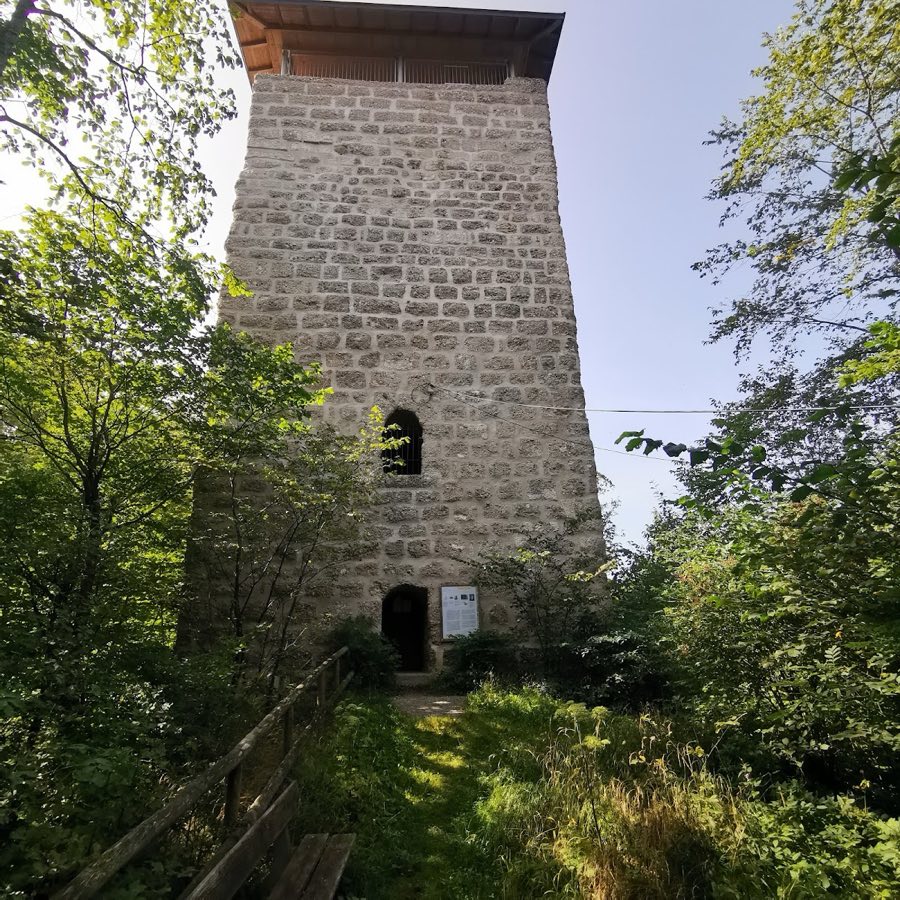
The castle suffered destruction in the course of the Thirty Years’ War and was rebuilt afterward. A further major fire in 1792 brought the complex out of use; its masonry was quarried for local buildings and only the large tower remained standing. In 1803 the site passed into Bavarian hands. The surviving tower received attention in the mid-19th century when the regional historical association carried out repairs. State building authorities carried out consolidation work in 1975–76, and the town later acquired the tower and surrounding land in 2011; further renovation added a roof in 2014.
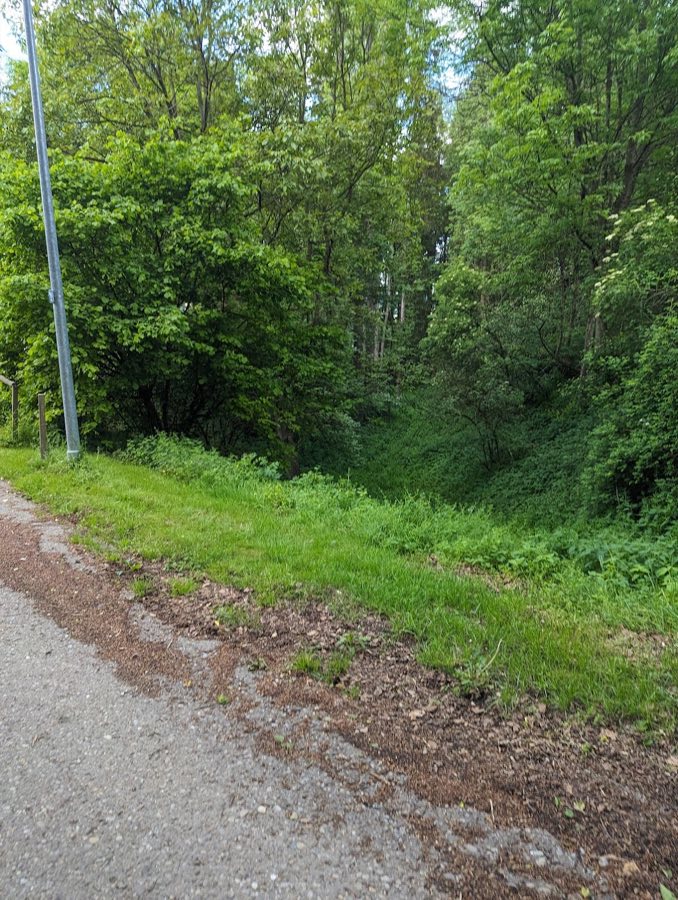
The castle occupies a two-part hilltop position on a steep ridge, with a compact main stronghold roughly 20 by 20 metres at the head of the knoll and a lower, rectangular outer courtyard plateau of about 30 by 50 metres to the south. The core of the site follows a horseshoe plan and is ringed by a deep defensive ditch, cut into the hillside to a depth of up to about eight metres. A ramp at the eastern edge of the ditch marks where a footbridge once gave direct access to the inner works.
A massive square keep rises from the south‑east corner of the main knoll and dominates the surviving remains. This tower, built of regularly dressed conglomerate blocks with bossed faces, stands at about 20 metres in height. Its basement is largely filled to a depth near six metres and four storeys sit above; the upper floors were lit by narrow arrow-slit openings in the southern wall. Under the present concrete ceiling of the top chamber the springing of a vault is visible. A narrow stair set into the south wall leads to the platform at the summit, which originally terminated in a crenellated parapet. The main entrance to the tower was positioned five metres above the courtyard on the north side, and at a later date a ground-level doorway was cut into the wall.
Fragmentary curtain wall runs north of the keep and a gap in that wall corresponds with the likely gateway, orientated toward the former bridging point. The north‑west sector of the outer plateau was the site of the residential hall, but its masonry has been entirely quarried away and the ground there is heavily disturbed. Around the main hill the neck ditch is unusually broad, measuring about 25 metres across, while the outer bailey is divided from the ridge by a narrower trench. On the eastern side of the southern plateau a long wall ramp of roughly 35 metres remains visible, its face stepping down two and a half to four metres to the ditch floor; surface irregularities on the plateau record the former footprints of stone-built internal structures. To the west of the whole complex a broad terrace carries further wall remains and the plateau levels are reached from this terrace by short ascents.
Beyond the main fortification lie several related earthworks. At approximately 250 metres to the north and south visible rises mark two high‑medieval motte sites. The southern outwork preserves a two-part arrangement in which a semi-circular ditch about two metres deep isolates the motte from the slope, and that ditch continues westward as a berm or partially silted slope ditch. An angular hollow on the south plateau records the footprint of a timber or simple framed building. A roomy outer bailey adjoins to the south; its outer wall remains only about one metre high and its frontal ditch reaches roughly half a metre in depth. The earthwork has been recorded as a sectional defensive bank, while its form is consistent with a high‑medieval fortified manorial seat. About 300 metres east of the northern outwork further plateau earthworks mark another medieval fortified seat on the high ground.
The tower and its associated earthworks are recorded in the Bavarian monument inventory as medieval archaeological sites and as a ruined castle ensemble, and the tower has undergone several episodes of repair and consolidation in the 19th and 20th centuries. The consolidation works of 1975–76 involved heavy insertion of mortar into the joints of the bossed facing stones, producing unusually smooth wall surfaces where the dressed blocks remain visible today.
No. 81331
No. 11948
No. 83238
No. 26862
Comments
Comments for Burg Helmishofen will require a verified account before posting.
We'll send a verification link before your first comment is published.