No. 55421
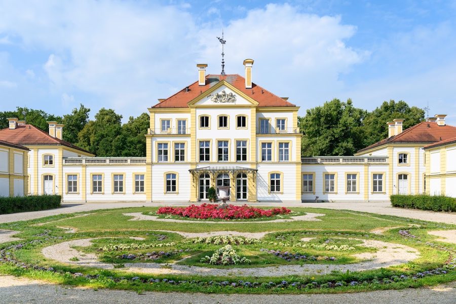
Fürstenried Palace
Germany
PalaceRestored18th century
No. 11948
No. 11948 · 48.043 N, 11.368 E
Quick summary
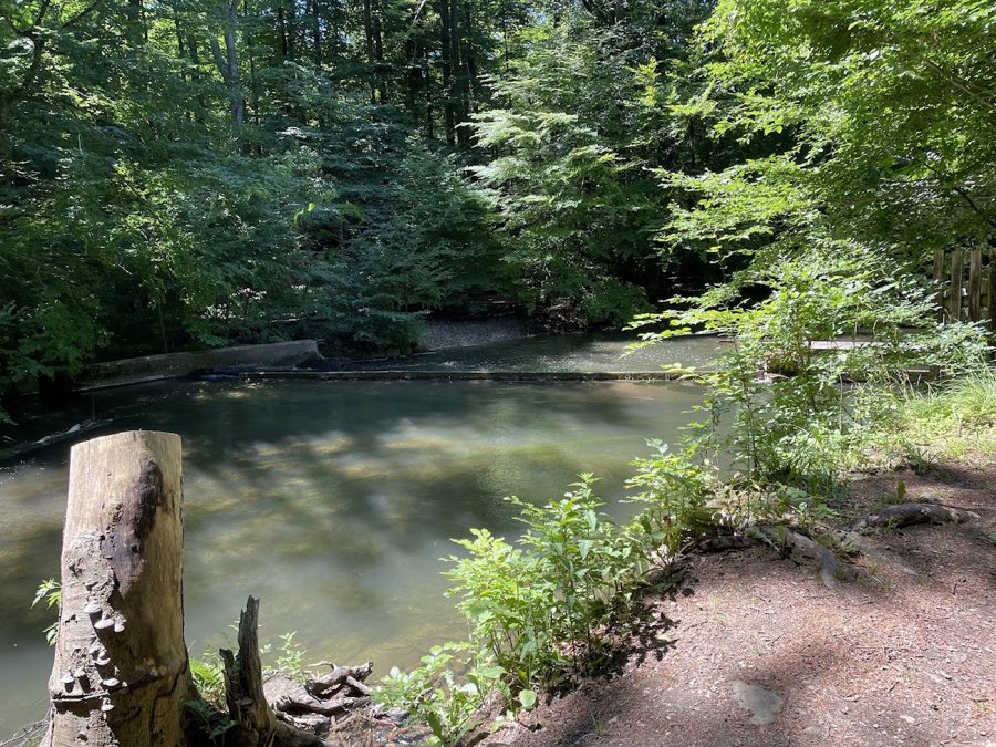
Burgstall Schlossberg is a castle in Germany with origins associated with the 12th century.
See all castles in GermanyBurgstall Schlossberg is a medieval castle site located in the municipality of Gauting, Germany. It was constructed during the high Middle Ages, most likely between the 11th and 13th centuries, by the local nobility or ministerials—knightly vassals who managed lands for higher-ranking feudal lords.
The castle served as a small fortification characteristic of ministerial castles of that period, playing a supportive role within the local regional power structure. Its ties are thought to be connected to the counts or ecclesiastical authorities of Ebersberg monastery, reflecting the common medieval relationship between secular and religious powers. Later, the site may have functioned as a satellite to the nearby Karlsburg, a larger castle documented from the early 12th century, specifically around 1114 to 1123.
Throughout its operation, Burgstall Schlossberg likely fulfilled a strategic purpose such as overseeing the Würm river valley, potentially controlling transport routes or signaling between neighboring strongholds. Although the castle is situated just north of the larger Karlsburg, its form and setting bear resemblance to early medieval Hungarian-style hillforts from the 10th century, suggesting continuity or adaptation of regional defensive concepts. However, unlike those earlier fortifications, the site does not closely follow their architectural traits.
On the opposite side of the Würm river, an adjacent earthwork may have served as an extended defensive zone or refuge linked to the castle itself. It possibly housed a group of around 200 to 300 people during times of danger, indicating Burgstall Schlossberg’s role within a wider defensive network. Due to the absence of written records, many details about the castle’s exact functions, its inhabitants, or its fate remain uncertain.
Archaeological studies and topographic surveys, especially those carried out in 1983 by the Bavarian State Office for Monument Preservation, have helped establish its historical footprint. Today, the site is officially recognized and protected as a medieval castle ruin within Bavaria’s cultural heritage registry.
Burgstall Schlossberg occupies a naturally defensive position on a southwest-pointing spur overlooking a bend in the Würm river, embodying a layout typical of medieval small castles that consist of two main parts. The central area, known as the main castle plateau, has a trapezoidal shape measuring about 40 meters in length and between 10 to 25 meters in width. This space is enclosed and made defensible by deep ditches carved into the rock, which lie some 6 to 7 meters below the interior level. These ditches continue forward into a neck ditch reaching depths up to 10 meters, effectively separating the core enclosure from a forecourt area.
The forecourt, or “Vorburg,” is a long rectangular space roughly 25 by 75 meters, covering around 750 square meters. It features a low earthen rampart up to one meter high, backed by an external ditch of comparable size. This outer area would have acted as a first line of defense and possibly a controlled access zone to the main castle. Near the southwest boundary of the castle plateau, a shorter ditch about 4 meters deep offers additional protection.
Along the northwest entrance to the central enclosure, spoil heaps from the ditch excavations remain visible, alongside embankments that resemble shield walls—built piles of rubble and earth designed to absorb or deflect attacks. The outer ramparts, though eroded over time, survive to a modest height of approximately one meter, hinting at their original defensive purpose.
Across the Würm river lies a separate earthwork on a naturally raised ridge, rising about eight meters above the valley floor. This roughly 600-square-meter enclosure is surrounded on three sides—north, west, and south—by a parapet-like earthen rampart standing about one meter tall. No similar fortifications appear on the river-facing eastern side. Access to this site arrives from the west via a berm or former ditch, lowering the approach and enhancing its defensibility.
The relationship between this earthwork and the main castle is subject to interpretation. It may have functioned as a fortified bridgehead or forework, possibly providing refuge for local inhabitants during unrest or serving as an outpost within a defensive network. Despite its proximity to the river and the castle, no direct structural links such as walls or gates connect the two.
The castle’s remains do not include clearly identifiable buildings or economic structures, though historical context suggests nearby agricultural or milling operations may have supported its occupants. A mill in the Würm valley close to the site could have been associated economically or administratively with the castle during its period of use.
Overall, the surviving earthworks and ditches present at Burgstall Schlossberg offer valuable insight into a modest but strategically placed medieval fortification. They illustrate the castle’s design philosophy focused on natural terrain advantages combined with earth and stone defenses, typical of small-scale noble residences and military outposts of the high medieval era in southern Germany.
No. 55421
No. 40118
No. 35334
No. 71057
Comments
Comments for Burgstall Schlossberg will require a verified account before posting.
We'll send a verification link before your first comment is published.