No. 68449
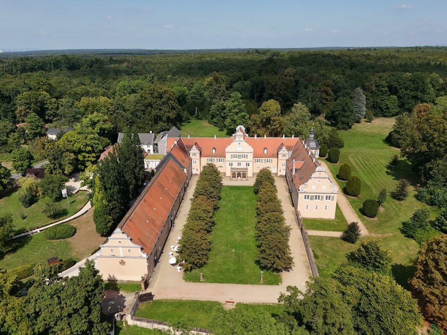
Jagdschloss Kranichstein
Germany
PalaceRestoredFor rent16th century
No. 19872
Castle · Germany
No. 19872 · 49.807 N, 8.741 E
Quick summary
Burg Nieder-Modau is a castle in Germany with origins associated with the 12th century.
See all castles in GermanyBurg Nieder-Modau, Ober-Ramstadt, Germany, was erected in the medieval period by local German nobility operating under the authority of the County of Katzenelnbogen.
The castle’s origins are not firmly fixed in surviving documents. One reconstruction places its building around 1200 by the Herren von Crumbach, while another attributes its erection to other local noble families; contemporary records also show the Modau valley as part of the Upper County of Katzenelnbogen and indicate that construction could only have been carried out by order of the Katzenelnbogen rulers. In 1247 a certain Gerhardus de Muda is recorded serving as castellan at the nearby Katzenelnbogen-held stronghold Auerberg, showing local administrative connections in the mid thirteenth century.
Medieval activity at the site ended by the later fourteenth century. The castle is said, without documentary proof, to have been destroyed between 1379 and 1382 during fighting between the Löwenbund and the city of Frankfurt. Later narratives name Hans Werner Kalb von Reinheim (Werner Kalb) as the last alleged owner, and he is portrayed in the literature as a robber baron.
By 1576 the site was already being called “Alte Burg” or Old Castle. Over the following centuries the ruin served as a convenient source of building stone; interior foundation masonry was removed to provide material for road works and construction. Excavations in 1827 uncovered the foundations of the encircling wall. In 1830 the forester Friedrich Heyer ordered the removal of remaining wall fragments, the levelling of parts of the site and the planting of black pines, a plantation that was cut down in 1953 and 1954 and replaced with linden trees. A descriptive account of the ruin was published in 1835.
An underground passage is described leading from the castle toward the so-called Old Castle Mill, a mill probably built to serve the stronghold and first entered in surviving records in 1486.
The castle occupies the summit of the Schlossberg, a conical hill of about 280 metres with the Modau river turning around its steep western flank and the Rohrbach running to the east. The fortification is a classic hilltop site with an elliptical encircling stone wall aligned roughly southwest to northeast and defended by a deep external ditch. The ditch has been measured around a circumference of 265 metres and the area it enclosed is reported as just over 5,000 square metres; nineteenth-century measurements recorded the longer ellipse axis at 284 feet and the shorter at 184 feet, with the ditch standing about 20 feet deep relative to the wall side.
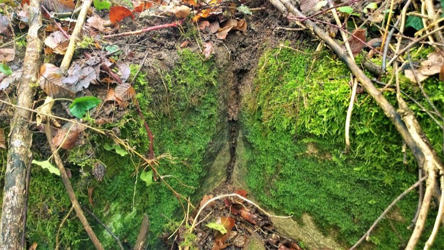
Foundations on the plateau indicate the positions of several internal buildings and a round masonry foundation interpreted as the base of the bergfried, the central defensive tower. A central hollow in the plateau corresponds to that tower location. Structural traces include fired (burnt) clay, hollow bricks and carefully worked sandstone blocks, which match a building pattern of timber-framed superstructures set on stone foundations. Charred beam fragments and widespread burn marks on foundation remains document destruction by fire.
Archaeological finds recovered from the castle plateau reflect its military and domestic life. Metal lance and arrow tips have been recorded alongside numerous stone projectiles described as stone-shot from siege engines (Bliden), including a partly destroyed granite projectile and other assorted basalt stones. Animal bones of fallow deer, roe deer, pigs, hares and small birds were also found and are interpreted as evidence of the hilltop settlement’s diet in the medieval period.
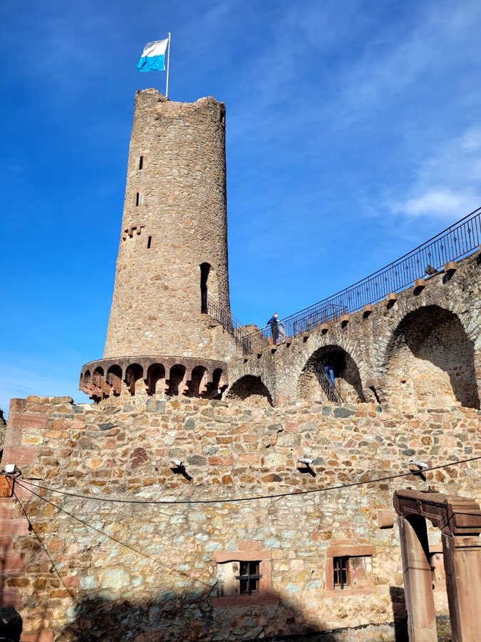
The site survives today as a ruin and prominent landscape feature. Sections of the encircling wall still rise above ground in places, and the earthworks of ramparts together with the southern approach remain clearly visible in the terrain. Many wall fragments were removed in the nineteenth century and the interior masonry was quarried for building stone, while nineteenth- and twentieth-century landscaping interventions — including the planting and later removal of trees — altered the immediate surroundings. An entrance reported to lead to an underground passage toward the Old Castle Mill is part of the recorded remains and the mill itself appears in records from 1486.
No. 68449
No. 80735
No. 25631
No. 73431
Comments
Comments for Burg Nieder-Modau will require a verified account before posting.
We'll send a verification link before your first comment is published.