No. 35334
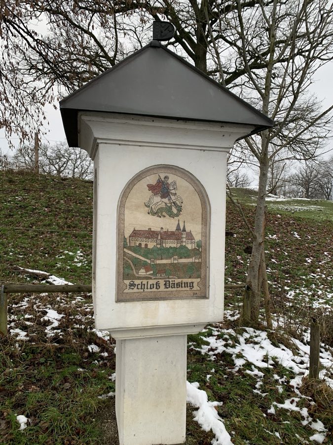
Burgstall Dasing
Germany
CastleRuin15th century
No. 90537
Castle · Germany
No. 90537 · 48.469 N, 11.176 E
Quick summary
Burg Wittelsbach is a castle in Germany with origins associated with the 10th century.
See all castles in GermanyBurg Wittelsbach stands in Aichach, Germany, and was established by medieval Bavarian nobility.
A site on the hill is mentioned around the year 1000. The place name appears in a 1115 imperial document as Witilinesbac in connection with Count Otto, and in 1119 a Count Otto of Scheyern made the castle his residence. Beginning in 1120 the Counts of Scheyern adopted the title Counts Palatine of Wittelsbach, and the castle became the ancestral seat of the House of Wittelsbach.
Tradition states that the castle was destroyed in 1209 as a consequence of the murder of King Philip of Swabia by Otto VIII of Wittelsbach, and the site was not rebuilt after 1209. Archaeological work carried out in 1978 to 1980 did not find clear signs of a catastrophic burn event and indicates that, after the place was abandoned, its masonry was gradually taken away for local building stone.
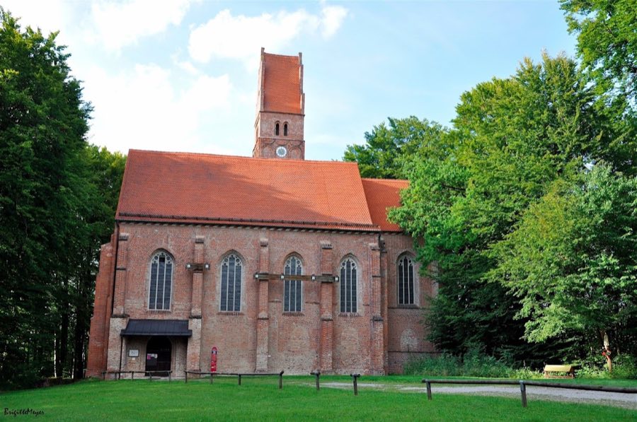
In the 1400s a late Gothic pilgrimage church devoted to the Virgin Mary was built on the castle hill, and that church still stands. From the 1500s into the early 1800s a small community of peasants and retired soldiers lived within the former castle area. That settlement was removed to make way for a national Bavarian monument designed by Joseph Daniel Ohlmüller, which was inaugurated on 25 August 1834 and later received a visit from King Maximilian II in September 1857.
Work for the exhibition “Wittelsbach and Bavaria” led to archaeological excavations in 1978 to 1980. During that campaign some exposed foundations were stabilized and partially rebuilt so visitors could read the former layout more readily. Around the district, commemorative naming preserves the connection to the dynasty in the form of the Wittelsbacher Land.
The castle occupied a long, crescent-shaped crest, extending to about 200 metres in total length with a central defended area roughly 115 metres across in one account. The built area narrows and widens along this curve, reaching widths of roughly 50 metres and opening out to roughly 90 metres where the forecourt lay. The central part of the site drops steeply, by around 20 metres, down into the valley below. Descriptions differ about the plan’s orientation, some placing the main castle on the eastern side with the outer ward to the west, while others describe the main length to the west with two outer wards to the east.
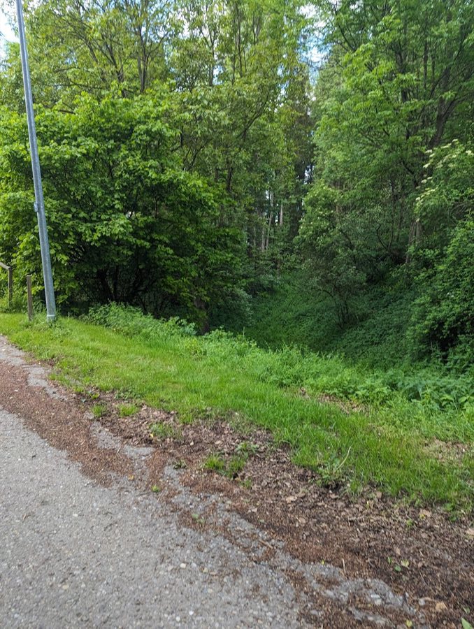
The defended complex used a mix of earth and stone. Earthen ramparts and ditches formed the basic outer works, including a neck ditch or half-moat protecting the approach and a further double ditch on the south side, and an inner and outer arrangement of baileys separated the core from the forecourt. Traces of these banks and trenches remain visible in places, although many of the earthworks have been levelled or built over as the site changed use.
A substantial stone curtain wall once enclosed the inner area. It was constructed from locally quarried sandstone blocks and boulders and measured about one and a half metres in thickness. Excavations revealed courses of masonry exposed in several sectors, with short stretches standing to about 1.7 metres high and one area showing some twenty courses to a height near 3.20 metres. Wall fragments and foundation remains uncovered during the 1978 to 1980 work were consolidated and in places completed with modern brick infill; the visible stone courses today reflect both medieval masonry and those later stabilizing interventions.
Close to the main area and built on top of the filled neck ditch is a late Gothic brick chapel with a single nave, an inset choir, and a tower beneath a saddle roof. Its west front and window tracery were altered in the nineteenth century. The chapel survives in situ and records the site’s continued religious use from the fifteenth century onward.
A circular brick cistern was uncovered in front of the church. Its draw-shaft descends to a floor about six metres below the present ground level and the cistern floor was paved with fragments of millstones. A receiving channel attached to the cistern was found filled with stone rubble, and the cistern appears to have been used as a refuse pit shortly before the place was finally abandoned.
A tall nineteenth-century national monument in a neo-Gothic style stands on the hill above the northern outlet of the former neck ditch. It is pinnacled in appearance and bears an inscription dedicating the memorial from Bavaria to its thousand-year ruling house. The monument was set in place in 1834 and remains a prominent modern feature on the site.
Throughout the interior of the former castle many earthworks and the internal forecourt walls and ditches have been largely levelled and incorporated into later uses. Agricultural buildings and a nineteenth-century benefice house occupy parts of the former enclosure, and the modern road towards Aichach follows the line of the old approach ditch. The 1978 to 1980 excavations consolidated selected foundations and partially rebuilt structural lengths so the earlier layout could be read more clearly in the present day.
No. 35334
No. 49642
No. 80364
No. 26862
Comments
Comments for Burg Wittelsbach will require a verified account before posting.
We'll send a verification link before your first comment is published.