No. 20251
Burg Berge
Germany
CastleRuin11th century
No. 84472
Manor house · Germany
No. 84472 · 51.095 N, 6.975 E
Quick summary
Dückeburg (Langenfeld, Germany) is a manor house in Germany), Germany with origins associated with the 15th century.
See all castles in GermanyThe Dückeburg in Langenfeld, Germany, is a medieval lowland moated site that was held and developed by regional noble families.
The name appears in a 1444 document as “Duckenburch.” Early recorded holders included the Herren von Zobbe and the von Sieberg family. A member of the latter, Johann Pieck von Sieberg, accumulated part of his wealth through brick trading and reportedly sold whole shiploads to Cologne. From 1466 the estate passed into the hands of the von Etzbach family, who retained it for more than two centuries. Wilhelm von Etzbach pledged his hereditary share of the Dückeburg on 26 November 1524. The von Etzbachs were later succeeded by the Herren Spies von Büllesheim.
Religious and administrative affairs touched the site during the sixteenth century. In 1578 the von Etzbach family provided about four Morgen of land and bore the main costs for establishing a vicarage at the church of St. Barbara. During the Reformation a local dispute involved Johann von Etzbach, who served as Amtmann of Monheim and lived at the Dückeburg; he had promised a Lutheran preacher but instead installed a Reformed minister, provoking conflict in Reusrath.
In 1670 the boundaries of the Dückeburg hunting district were sworn and mapped by the hunter Hansen. He traced extensive limits from the Wupper in the south to the Rhine in the west, and marked intermediate points including Rothenberger Hof, Furth, Rupelrath and other local places. One boundary road was known as the Diebstraß, a name that appears on a map of 1805 and for which no clear origin is recorded.
In 1795 French troops set fire to the castle, destroying the structure. The building was rebuilt on its original foundations as a manor farm. By 1816 the Dückeburg was described as a former knight’s seat with nine inhabitants. From around 1829 the estate belonged to the Counts Mirbach zu Harff and later passed to their heirs, the Herren zu Loudon-Vorst-Gudenau. Under an 1824 Prussian law the property was listed among estates eligible for old parliamentary representation. A 1932 administrative report ranked the Dückeburg last of twelve such estates in the Solingen district by principal land tax assessment.
The site is legally protected as a listed monument. The farm buildings underwent a careful renovation in 2002 to 2004 carried out to respect the historic fabric, and the complex remains in private ownership. In 2013 the owner applied for permission to establish a private helicopter landing site near the property; that application was withdrawn by the applicant in early February 2016.
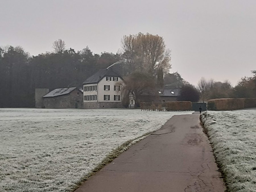
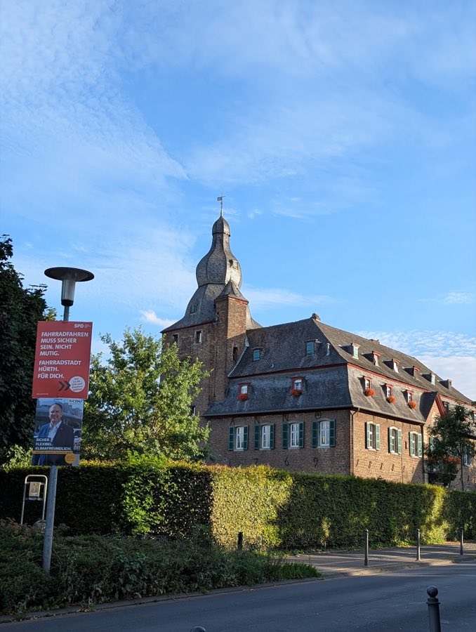
The site occupies a low-lying position and was originally defended by water. The medieval castle stood within surrounding ditches and earthen banks. After the destruction by fire in 1795 the main building was reconstructed on the original footprint as a manor farm, so the present complex sits directly on the castle foundations.
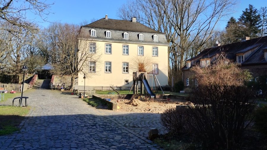
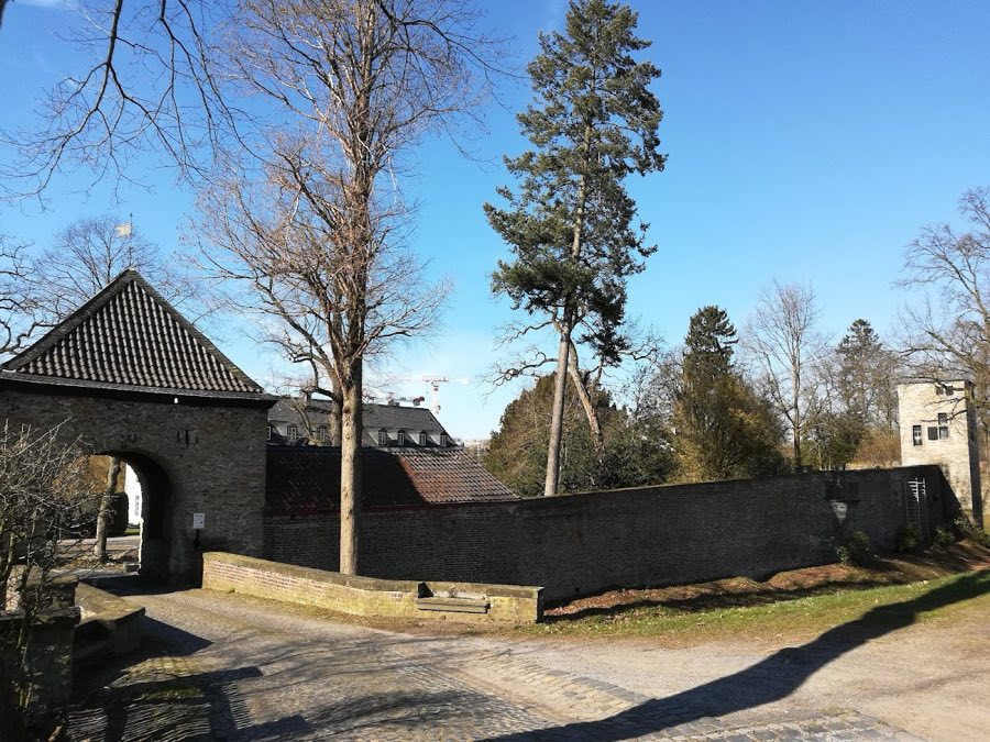
The principal residential building is a two-storey house topped by a half-hipped roof. Economic buildings are attached along the sides, forming a courtyard ensemble typical of a farmstead rebuilt from an older fortified site. A freestanding external staircase rises within the yard and is a dominant visual feature. The courtyard is enclosed by a wall whose central gate is framed by paired pillars that provide the main entrance to the complex. These elements date to the post-1795 rebuilding and to later agricultural use, and they remain visible in situ.
Remnants of the former water defenses were described until roughly a century ago. To the northwest a water ditch was recorded as being 55 Schritt across and was backed by an earthen rampart that reached about 1.5 metres in height and up to 4 metres in width. During the renovation work in 2002 to 2004 the decision was made not to restore those water features, so their traces survive in the landscape rather than as reconstructed moats.
The surviving site lies amid open fields and meadows with woodland to the north and east. The Galkhauser Forest and the Galkhauser stream sit near the property, and to the east the Further Moor lies beyond the farm toward the settlements of Furth and Hapelrath. Documentary evidence also points to possible subsurface water-management features in the adjacent forest toward Trompeter Straße, which have been identified as archaeological targets for further investigation. The ensemble, including the reused castle foundations and the later farm buildings, is protected as a monument and remains in private hands.
No. 20251
No. 57401
No. 59961
No. 22537
Comments
Comments for Dückeburg (Langenfeld, Germany) will require a verified account before posting.
We'll send a verification link before your first comment is published.