No. 19207
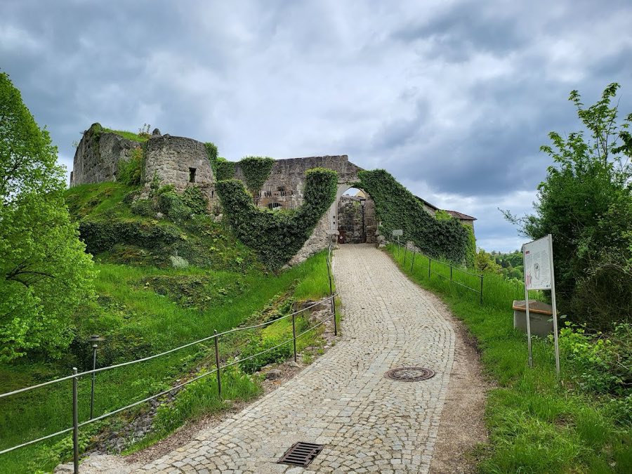
Burg Laaber
Germany
CastleRuin12th century
No. 36200
Castle · Germany
No. 36200 · 49.162 N, 11.952 E
Quick summary
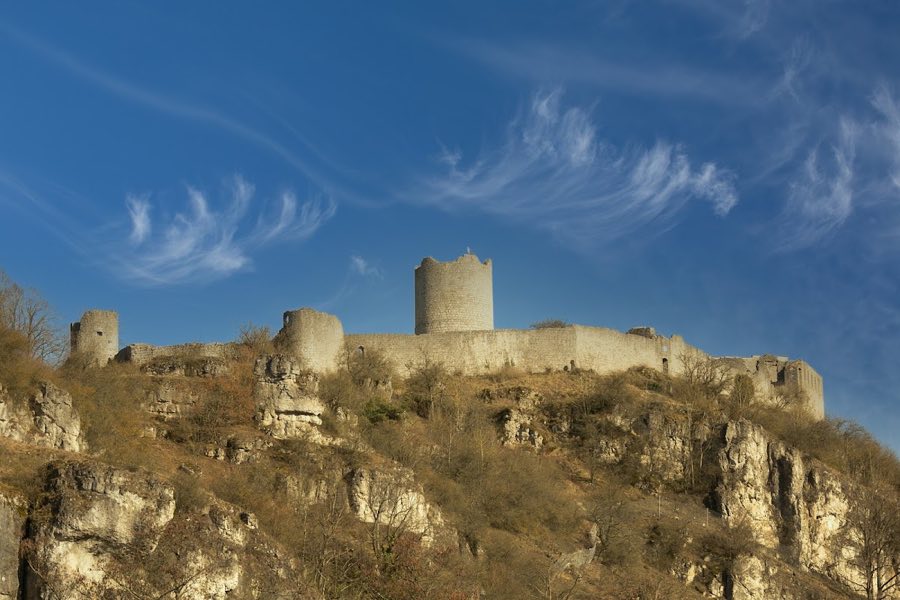
Burgruine Kallmünz is a castle in Germany with origins associated with the 17th century.
See all castles in GermanyBurgruine Kallmünz stands above the town of Kallmünz in Germany; the earliest fortifications and long occupation at the site began under Celtic peoples.
The hill was reused and refortified in prehistory. A two‑phase outer section wall on the approach over the Hirmesberg dates to the Middle Bronze Age, around 1600 BCE, while an inner multi‑phase barrier closer to the castle site belongs to the La Tène period, around 500 BCE. Archaeological evidence shows earlier timber defences that have not survived. The position on the spur above the meeting of the Vils and the Naab placed the site on important river and overland trading routes.
Around the year 900 a crescent‑shaped early medieval section wall, traditionally called the Hungarian Wall, was built to enclose a large refuge castle intended to protect local inhabitants from Hungarian raids. The fortress is recorded in a document of Bishop Wolfgang of Regensburg in 983. A medieval imperial customs station is documented at the site and is mentioned in 1230 as already old.
In the later Middle Ages the stronghold passed through a series of regional hands. A Bavarian ministerial named Hugo of Kallmünz is recorded in 1271. The castle appears as Wittelsbach property in the 1329 House Treaty of Pavia. In 1344 Duke Ludwig pledged the fortress to the city of Regensburg and subsequently to Thuringia and Hesse, and various Wittelsbach lines recovered it in the following decades. In 1358 Count Palatine Ruprecht I received imperial permission to redeem the fortress and major rebuilding began in 1361; these works continued intermittently and were not completed until 1459 under Duke Albrecht III.
The castle suffered in later conflicts. In 1504, during the Landshut War of Succession, troops from the Palatinate captured and burned the castle; it was rebuilt afterwards. In the Thirty Years’ War imperial forces are recorded plundering the castle in 1633, and Swedish troops burned it in 1641. From the second half of the 17th century the ruined site supplied building stone to the surrounding community. Ownership of the ruins passed to the municipality in 1793, a transfer that stopped further systematic stone‑robbing. Local conservation and restoration efforts began in the late 19th century and continued into the 20th and 21st centuries, including repair of the gateway arch. In 1671 the approach to the keep’s raised entrance was renewed; in 1900 the keep received an outer shell and the main gate was given a pointed arch. The ruins are now protected as a listed building monument and as a registered archaeological site. In autumn 2010 a municipal proposal to add road access and recreational facilities inside the outer ring walls was abandoned after strong local protest and a citizens’ petition; alternative plans and a re‑founding of the local castle association followed in 2013.
The castle occupies a narrow hill spur that rises to about 433 metres above sea level above the confluence of the Vils and Naab, with the main defensive core placed on the outer tip directly above steep cliffs. Building stone is principally local limestone and surviving masonry ranges from thick medieval ashlar to later thinner ring walls. The site preserves a sequence of defensive works that record repeated reuse from the Bronze Age through the Iron Age and into the medieval period.
On the outer approach a two‑phase section wall over the Hirmesberg, dated to the Middle Bronze Age around 1600 BCE, marks the earliest documented large enclosure associated with the hill. Closer to the castle a multi‑phase inner section wall dates to the La Tène era, about 500 BCE; this Iron Age line was later overbuilt by the early medieval crescent‑shaped Hungarian Wall, constructed around 900 to enclose roughly three hectares as a refuge area.
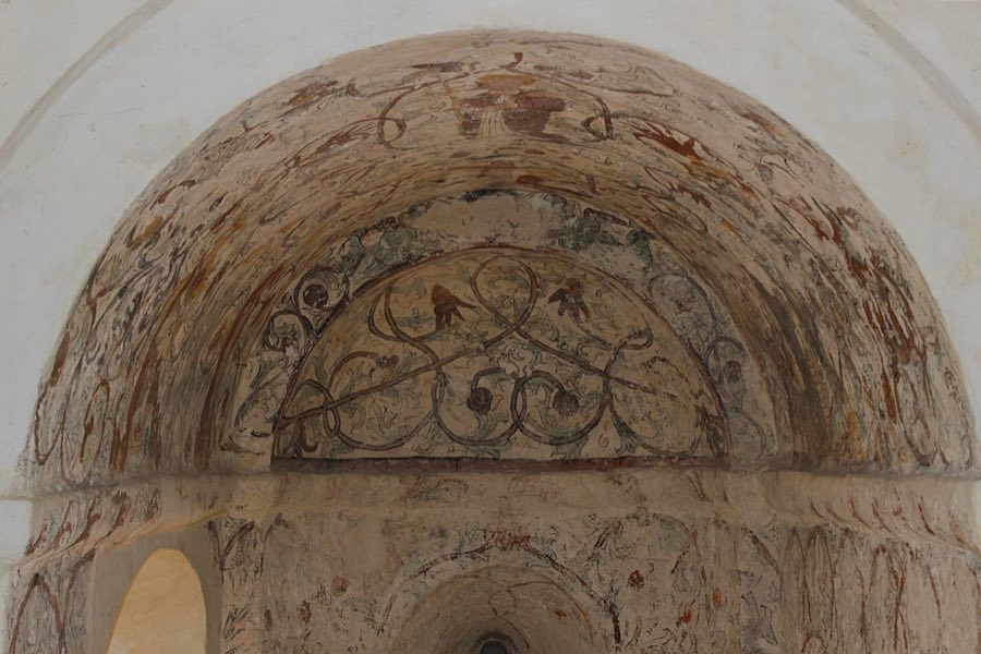
The medieval core of the fortress, dated roughly to the 12th and 13th centuries, sits at the extreme tip of the spur. The principal residential building is a polygonal, two‑storey Romanesque palas or ducal hall, which preserves paired round‑arched windows and a set of three‑part pointed windows. The palas contained two large reception halls known as knight’s halls and living rooms on its upper floor. A round chapel was attached to the north side of the palas; its footprint measures about 9.5 metres across and it rises to roughly 8 metres in height, and fragments of this chapel remain in situ.
A substantial circular keep survives as one of the most complete elements. Constructed of limestone ashlar, it stands close to 20 metres in height with a raised entrance about eight metres above ground level. The keep measures approximately 9.5 metres across internally and its walls are roughly 2.3 metres thick. The means of approach to this high gateway was renewed in 1671 and the tower received a renewed outer facing in 1900, evidence of both early modern and modern interventions.
Surrounding defensive masonry shows a range of phases and techniques. Some external wall sections reach thicknesses of two metres or more. Works associated with mid‑14th‑century improvements form a thinner ring wall about 1.2 metres wide and incorporate semicircular flanking towers. A late Gothic outer defensive enclosure with a gatehouse dates to the 15th century, and later Gothic modifications and overbuilding are visible on surviving wall fragments. Present remains therefore include the well‑preserved keep, substantial stretches of the palas walls, extensive ruined curtain walls and a remnant of the round chapel. The castle area is a registered archaeological monument, and modern features at the site include viewing platforms on the spur and a seasonal café at the hill foot.
No. 19207
No. 45707
No. 47939
No. 42103
Comments
Comments for Burgruine Kallmünz will require a verified account before posting.
We'll send a verification link before your first comment is published.