No. 30528
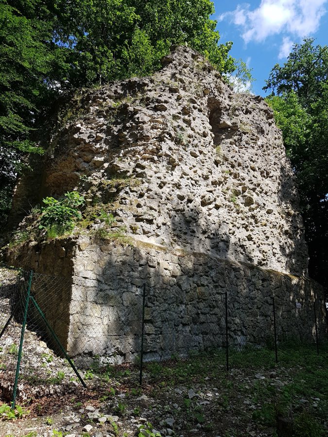
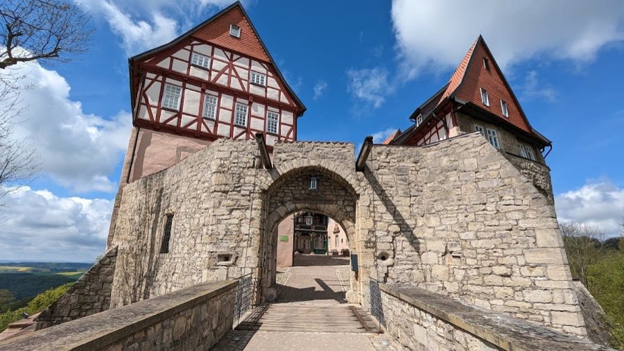
Burg Winzenburg
Germany
CastleRuin12th century
No. 51078
No. 51078 · 51.896 N, 10.116 E
Quick summary
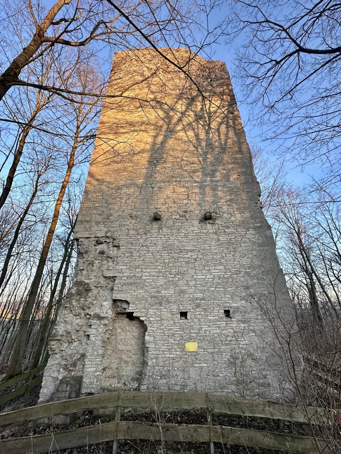
Burgruine Wohlenstein is a castle in Germany with origins associated with the 13th century.
See all castles in GermanyBurgruine Wohlenstein stands in Seesen, Germany; it was erected by a cadet branch of the medieval German Wohldenberger family. The site was built in 1295 under the feudal authority of the abbess of the Gandersheim convent, who served as the castle’s liege lord.
In 1349 the Wohldenberger owners transferred the estate into the hands of the Edelherren of Homburg. Only a few years later, in 1357, Bishop Heinrich III of Hildesheim acquired the property, and a grave plate for the bishop, carved about 1363, preserves an image of the castle as it appeared in the middle of the fourteenth century.
The castle became entangled in the Hildesheim diocesan feud early in the sixteenth century. Forces led by Duke Erich I of Calenberg-Göttingen laid siege to the fortress; on 30 May 1519 the defenders were overcome and the stronghold was destroyed completely. Following the end of the conflict the castle and the administrative district known as Wohlenstein passed to Duke Heinrich the Younger of Brunswick-Wolfenbüttel. He relocated the local administration into a newly constructed administrative house at Bilderlahe. Builders subsequently took dressed stone from the ruined castle for use at the Heber outwork and for the agricultural buildings of the Bilderlahe estate. A map produced in 1591 by Johannes Krabbe records the appearance of the castle as it stood in 1520 during the diocesan feud.
The ruined site occupies a cone-shaped spur of the Heber ridge at 253 meters above sea level, commanding views toward the historic route between Frankfurt and Braunschweig and overlooking the countryside to the east near Seesen. The castle platform is oval, about 45 by 15 meters, and is laid out in two distinct compartments corresponding to an outer enclosure and an inner stronghold.
At the heart of the inner area stood a tall stone keep, built during the castle’s medieval phase. The tower originally rose to roughly 24 meters; masonry repairs and later collapse have left three sides of the tower standing to a current height of about 18 meters. The surviving wall sections are massive, nearly three meters thick, and show typical medieval dressed-stone construction. A gate tower adjoined the keep and provided the passage from the outer enclosure into the inner ward, a configuration also represented on the bishop’s grave plate.
The outer defenses were arranged as two lines of walls and ditches. Archaeological evidence records an outer rampart and a deep defensive ditch cut into the slope; measured from the crest of the rampart the surviving ditch still exceeds ten meters in depth. The site’s defensive scheme once bridged these enclosures, and historical imagery from 1520 presents the keep, the gate tower and a main residential hall; that representation omits other curtain walls, reflecting the state of the castle at that moment.
After the 1519 destruction, builders removed dressed masonry for other local projects. Documentary and material evidence ties reused blocks to the Heber outwork and to the agricultural buildings of the Bilderlahe estate, demonstrating practical recycling of the castle fabric. It is suspected that the original approach entered through the northern rampart, and that a new route toward the south and Bilderlahe was established following the castle’s demolition.
No. 30528
No. 24160
No. 68614
No. 33460
Comments
Comments for Burgruine Wohlenstein will require a verified account before posting.
We'll send a verification link before your first comment is published.