No. 13791
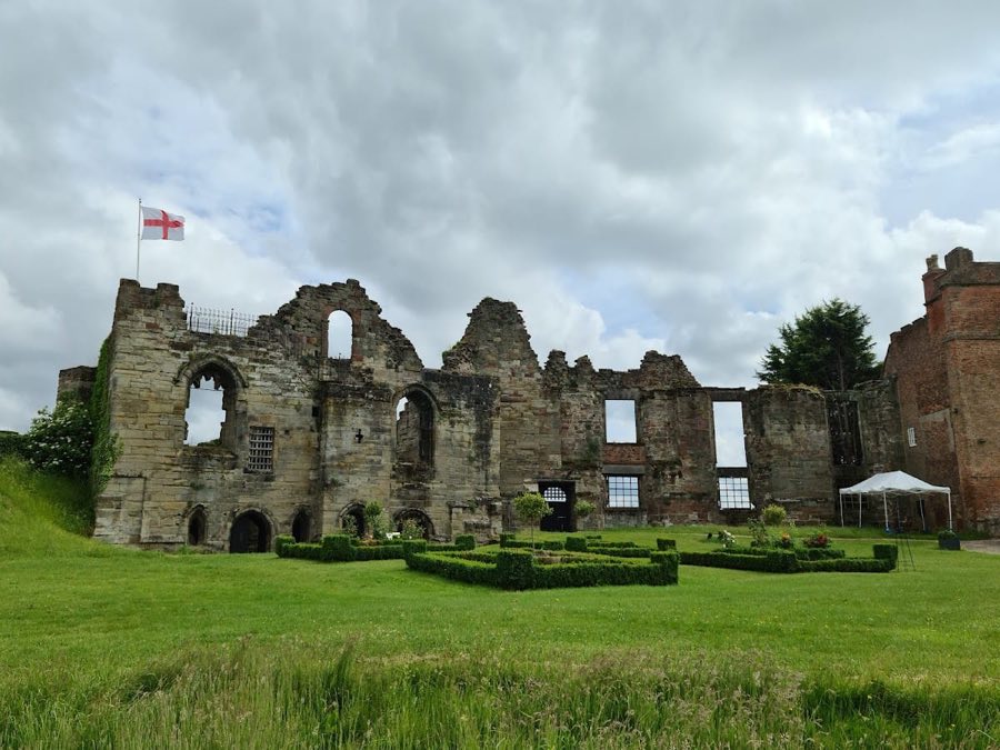
Tutbury Castle
United Kingdom
CastleRuinFor events13th century
No. 37257
Castle · United Kingdom
No. 37257 · 52.758 N, 1.587 W
Quick summary
Castle Gresley is a castle in United Kingdom with origins associated with the 12th century.
See all castles in United KingdomCastle Gresley stands in Castle Gresley, United Kingdom, and was constructed by the de Gresley landowning family, who traced descent from Nigel de Stafford, a Domesday tenant in 1086.
The exact date when the earthworks were raised is not recorded, but the site may have been created in the mid-12th century during the period of civil conflict known as the Anarchy. A site plaque records that the castle may have been built without royal licence at that time and names William de Gresley as the landowner associated with the site; William also established Gresley Priory about one mile away.
The castle does not enter the surviving documentary record until later centuries, though the neighbouring settlement is first called “Castelgresele” in 1252, a form of the name that indicates the place was already associated with a castle by that year. That plaque also states the fortress may already have been abandoned by 1252. By 1330 Geoffrey de Gresley held the legal right to operate gallows at both Drakelow and Castle Gresley, showing the family’s local jurisdictional privilege in the early 14th century.
An antiquarian visiting in 1582 reported visible remnants of a substantial dwelling on the site and recorded that the de Gresley family had, for some time, shifted their principal residence to nearby Drakelow. The de Gresley family continued to own the land through the centuries and retained possession into the late 19th century. In the 19th century the Midland Railway laid the Burton-to-Leicester line just south of the earthworks and opened Gresley station to the east. Shortly after the Second World War the Royal Observer Corps built an underground nuclear monitoring post within the central bailey and, in the course of fitting that installation, lowered the summit of the motte slightly to enlarge the platform for equipment. The earthwork site, excluding the ROC post, was given statutory protection as a scheduled monument on 31 August 1966.
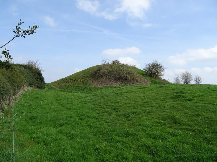
The site survives as a group of earthworks forming a motte-and-bailey layout with a central mound and three surrounding baileys. The motte-and-bailey form was built in earth and timber, and the surviving landforms show the footprint and relationships of the original defensive and domestic areas rather than standing stone structures.
The motte remains as a conical artificial hill about four metres high. Its base is roughly fifty metres across and the top measures about twelve metres in diameter. On the summit there is a raised platform approximately five metres across that is believed to have carried a now-lost tower. Around the motte runs a ditch about ten metres wide and presently around two metres deep; the northern portion of that ditch has been partly filled with soil displaced during nearby housing work.
To the east the motte is connected to a distinct three-metre-high mound where a tower once stood, a position described as having guarded what was likely the main approach. The motte and that mound sit within the central bailey, which opens out to about seventy metres at its widest point. The northern bailey lies beyond a roughly two-metre-deep ditch and stretches about forty metres along its longest axis, while the southern bailey is separated from the central enclosure by a five-metre-wide berm.
Descriptions of the defences indicate the baileys were formed with a scarp topped by a timber palisade, consistent with earth-and-wood construction techniques. Within the baileys the ground contains traces interpreted as the sites of a main hall, living accommodation, kitchens, workshops, stables and paddocks; a modern shed and stable occupy part of the north bailey today. The whole complex commands views northward over the River Trent and southward toward the River Mease. Overall the site is substantial in extent and is regarded as generally well preserved, with many buried archaeological remains thought to survive. The central bailey also contains the underground monitoring post installed by the Royal Observer Corps after the Second World War, a later alteration made while the site remained in use for monitoring purposes.
No. 13791
No. 35132
No. 63097
No. 36945
Comments
Comments for Castle Gresley will require a verified account before posting.
We'll send a verification link before your first comment is published.